Powell's Creek (Prince George County, Virginia)
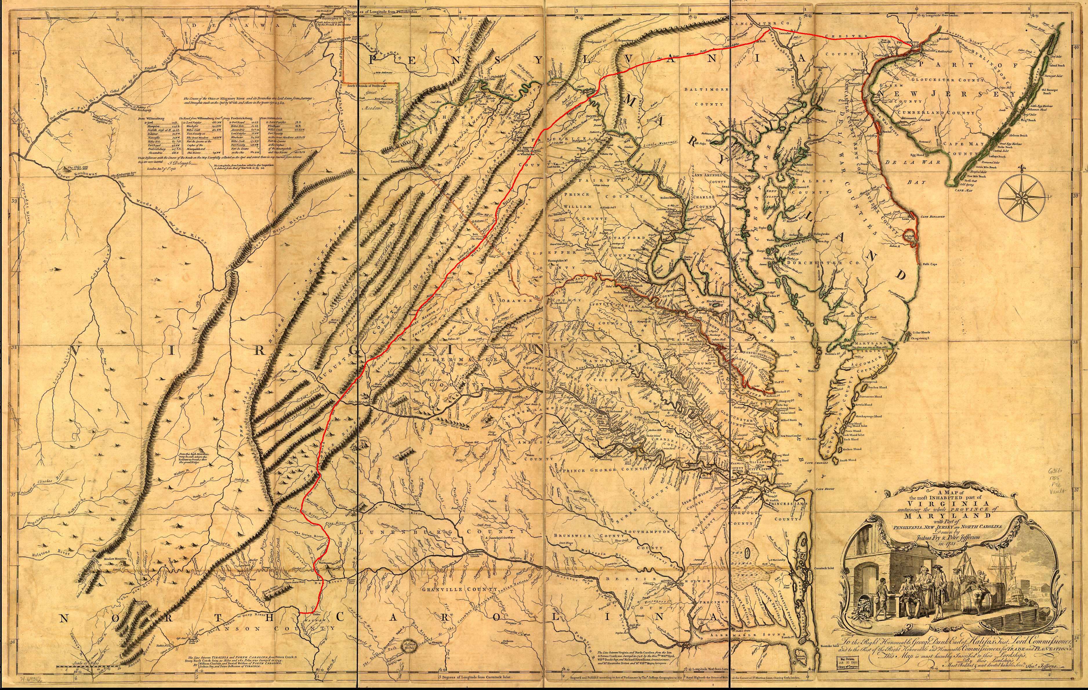
Powel's Creek shown on the Fry-Jefferson map (1752) between Jordan's Point and the Maycox plantation.
Powell's Creek is a tributary of the James River on the south side of the James River in Prince George County, Virginia, United States. The creek borders James River National Wildlife Refuge near Garysville, Virginia.
In 1730, a tobacco inspection site was located here. According to the Tobacco Inspection Act, the inspection was "In Prince George; at Appamatox Point, upon Col. Bolling's land; on Col. Robert Mumford's land; and Powel's Creek; upon Mr. Bland's land, under one inspection."
According to a State of Virginia historical marker, "The creek ... was named for Nathaniel Powell, acting governor in 1619. Weyanoke Indian town was here. Nearby was the site of an old mill, known in the Revolution as Bland's, and later, Cocke's Mill. The British General Phillips passed here May, 1781. Here Grant's army, after crossing the James, turned towards Petersburg, June, 1864."[1]
References
- ↑ "Powell's Creek Marker, K-212". Markerhistory.com. Retrieved October 7, 2015.
Coordinates: 37°17′41″N 77°09′39″W / 37.2946°N 77.1607°W
