Pogogul Airport
| Pogogul Airport Bandara Pogogul | |||||||||||
|---|---|---|---|---|---|---|---|---|---|---|---|
| IATA: UOL – ICAO: WAMQ | |||||||||||
| Summary | |||||||||||
| Airport type | Public | ||||||||||
| Serves | Buol Regency, Central Sulawesi, Sulawesi Island, Indonesia | ||||||||||
| Elevation AMSL | 74.63 m / 244.85 ft | ||||||||||
| Coordinates | 01°06′17″N 121°24′54.99″E / 1.10472°N 121.4152750°E[1] | ||||||||||
| Map | |||||||||||
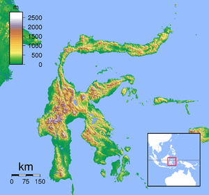 UDL Location of the Airport in Sulawesi | |||||||||||
| Runways | |||||||||||
| |||||||||||
Pogogul Airport (Indonesian: BandaraPogogul ) (IATA: UOL, ICAO: WAMQ), is an airport near Buol, a city in the province of Central Sulawesi on the island of Sulawesi in Indonesia.
Facilities
The airport resides at an elevation of 2 metres (6 ft 7 in) above mean sea level. It has one runway designated 11/29 with an asphalt surface measuring 750 by 23 metres (2,461 ft × 75 ft).
Airlines and destinations
| Airlines | Destinations |
|---|---|
| Aviastar | Palu, Gorontalo |
| Xpress Air | Palu |
References
This article is issued from Wikipedia - version of the 11/27/2016. The text is available under the Creative Commons Attribution/Share Alike but additional terms may apply for the media files.