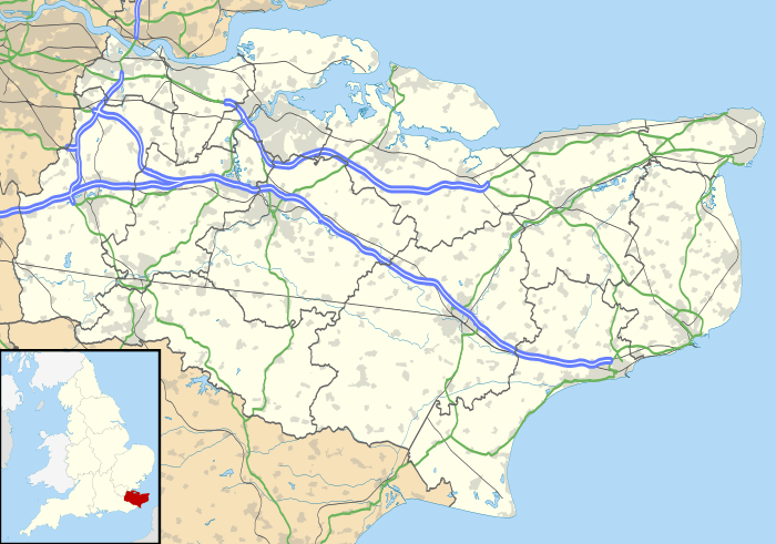
Platt, Kent
Coordinates: 51°17′12″N 0°20′07″E / 51.286580°N 0.335400°EPlatt, or St. Mary's Platt is a village in the local government district of Tonbridge and Malling in Kent, England. The village contains a church which was built in 1843 and which stands on a hill overlooking the village centre. The architects were Whichcord and Walker of Maidstone.[2]
The hamlet of Crouch (pronounced Crooch) lies within the parish. The River Bourne flows through the western part of the parish. Basted Paper Mill was within the parish boundary.
Nearest Settlements
 |
Wrotham | Little Wrotham in Wrotham | Wrotham Heath and Addington |  |
| Borough Green | |
Wrotham Heath and Offham | ||
| ||||
| | ||||
| Basted, Claygate Cross | Crouch | Mereworth |
References
- ↑ "Civil Parish population 2011". Neighbourhood Statistics. Office for National Statistics. Retrieved 23 September 2016.
- ↑ churchplansoline Retrieved 27 May 2011
| Wikimedia Commons has media related to Platt, Kent. |
External links
This article is issued from Wikipedia - version of the 11/3/2016. The text is available under the Creative Commons Attribution/Share Alike but additional terms may apply for the media files.

