Plano, Kentucky
| Plano | |
|---|---|
| CDP | |
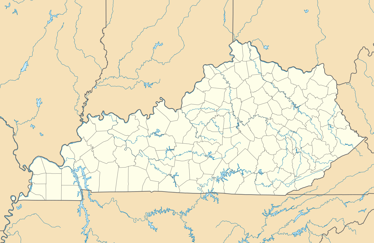 Plano Location within Kentucky. | |
| Coordinates: 36°52′40″N 86°24′58″W / 36.87778°N 86.41611°WCoordinates: 36°52′40″N 86°24′58″W / 36.87778°N 86.41611°W | |
| Country |
|
| State | Kentucky |
| County | Warren |
| Area | |
| • Total | 2.67 sq mi (6.9 km2) |
| • Land | 2.66 sq mi (6.9 km2) |
| • Water | 0.01 sq mi (0.03 km2) |
| Population (2010) | |
| • Total | 1,117 |
| • Density | 1,081/sq mi (417/km2) |
| Time zone | Central |
Plano is a CDP in Warren County, Kentucky, United States. The population at the 2010 census was 1,117.[1] The elevation is 610 feet.[2]
Geography
Plano is located at coordinates 36°52'40"N 86°24'58"W. According to the United States Census Bureau, Plano has a total area of 2.67 km² of which 2.66 km² is land and (0.39%) 0.01 km² is water.
Demographics
According to the 2010 census, there were 1,117 people living in Plano. The population density was 417.9 hab./km². Of the 1,117 people, Plano was composed of 94.09% White, 3.04% African American, 0% Native American, 0.9% Asian, 0% Pacific Islander, 0.81% were other races, and 1.16% of two or more races. 1.61% are Hispanic or Latino of any race.
References
- ↑ "Plano, Kentucky population:". Retrieved 17 August 2014.
- ↑ "Plano, Kentucky". Retrieved 17 August 2014.
Municipalities and communities of Warren County, Kentucky, United States | ||
|---|---|---|
| Cities |  | |
| CDP | ||
| Other unincorporated communities | ||
This article is issued from Wikipedia - version of the 2/27/2015. The text is available under the Creative Commons Attribution/Share Alike but additional terms may apply for the media files.