Pir Piai
| Pirpiai پئرپئأي | |
|---|---|
| Town and Union Council | |
| Nickname(s): Small England | |
 Pirpiai پئرپئأي | |
| Coordinates: 34°00′N 71°54′E / 34°N 71.9°ECoordinates: 34°00′N 71°54′E / 34°N 71.9°E | |
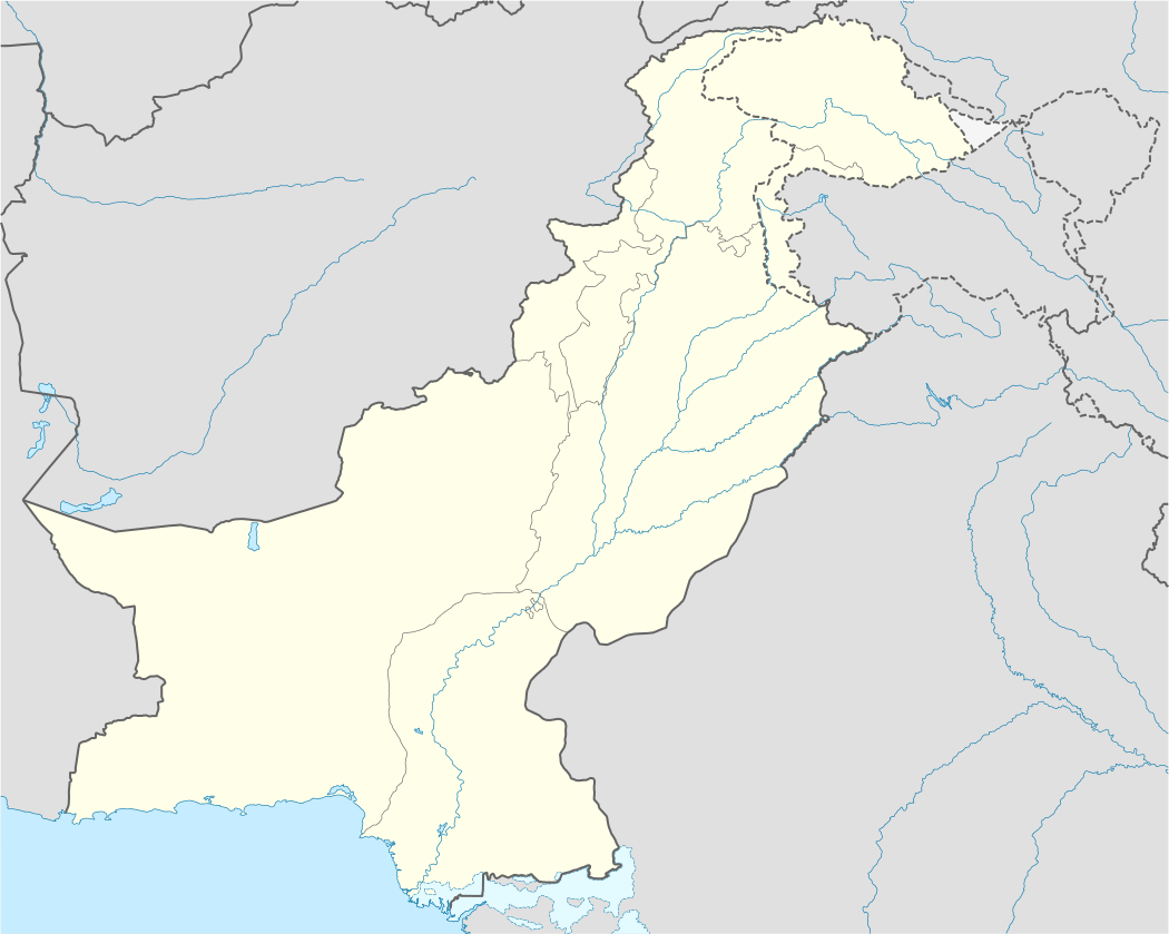
| Country | Pakistan |
| Province | Khyber-Pakhtunkhwa |
| Area | |
| • Total | 3 km2 (1 sq mi) |
| Elevation | 308 m (1,010 ft) |
| Population (1998) | |
| • Total | 35,000 |
| • Demonym | Pirpiaiwal |
| Time zone | PST (UTC+5) |
| Calling code | 0923 |
| Number of Union Councils | 1 |
| Website | Khyber-Pakhtunkhwa Government Website |
Pirpiai is a village in the Nowshera District of Khyber-Pakhtunkhwa, Pakistan. It is a large village with a population of around 35,000. Pirpiai has a high literacy rate of 92%, compared with Pakistan's average literacy rate of 55%.[1] The village is surrounded by an industrial area that provides jobs and revenue for the region. Most Pirpiains (a demonym for the residents of Pirpiai) have traditionally worked as farmers who rented the land that they worked.
The village is known for its modern facilities, compared with surrounding parts of Pakistan.
History
Pirpiai is said to have been named after Pir Muhammad Khan of Pirpiai, an Afghan (at that time the area was part of Afghanistan). Pir Muhammad Khan was the son of Daulat Khan. Daulat Khan was a commander and confidant of Nadir Shah Afshar, the ruler of Iran.
Nadir Shah Afshar, having defeated the Pushtun Hotaki ruler Mir Hussain Hotaki in Herat and Ghazni in 1738, attempted to invade India. After his defeat, Mir Hussain Hotaki agreed to send Pushtun forces with the army of Nadir Shah. There were 12,000 Abdali (Durrani) and 4,000 Pushtun Khilji soldiers in this army. A hamlet of the Dalazak tribe was on the south bank of the Kabul River near present-day Pir Piai. The area along the river was forested at that time. When the Shah's forces reached this area they asked the Dalazak tribe to join their army, but they refused. Nadir Shah then ordered his army to destroy and burn the village, causing the Dalazaks to flee from the area. Nadir Shah awarded the area to Daulat Khan, his confidant. Daulat Khan belonged to the Gumoriani, also known as the Zmaryani tribe, which is a branch of the Kasi_(Pashtun_tribe). Daulat Khan rebuilt the village, but it was later destroyed by flooding of the Kabul River. Pir Muhammad Khan, an Afghan from Ghazni and the son of Daulat Khan, moved approximately two and a half miles south and established the village of Pirpiai.
According to the Tareekh-e-Peshawar by Rai Bahadur Munshi Gopal Das, in 1874 there were 52 Hindus and 1502 Muslims living in the village.[2]
Originally Pirpiai acted as a merchant town for passing travelers. It is situated beside the original Sher Shah Suri's Highway, known in modern times as the Grand Trunk Road. The Mughals and their armies often used this route. Men from the village were often recruited by the passing armies. Bahadur Baba was a famous soldier recruited at that time, an older man who fought fiercely and with great skill. When he died fighting for the Mughal armies, the Mughal Emperor sent him back to be buried in his native village of Pirpiai, Baba's last wish.
Education, health and recreation
Pirpiai's government schools include six primary schools and three high schools, one of which was Pakistan's first girls-only high school, two boys' colleges and one college for girls. There are also several private schools.[3]
Basic healthcare and medical facilities are available at a government hospital in the village. There are several private medical clinics and pharmacies.[4]
Cricket, soccer, hockey and volleyball are popular sports in Pirpiai. The village has a 30-acre (120,000 m2) park with lakes 1 km away on the Grand Trunk Road.
Miscellany
Pirpiai was also known as Small England (chotta wilayat) due to its high rate of literacy and development. The village is divided into smaller sectors known as "Mohallah", a few of which are: Qamarkhel, Baba Khail, Sadri Khail, Tapu Khail, Janabad, Miskeen Khail, Babar, Sadat, Zar Muhammad Khail, Mandoori etc. Pirpiai has more than 35 mosques within its own Mohallahs. Each Mohallah has at least two mosques. The village has a bank, a post office, a railway station and a dry port. Facilities such as electricity, gas, water, sewage, telephone, and internet are available along with cellular mobile phone services. All five mobile operators of Pakistan have their towers installed in the village. Notable British generals invited to the village by Col. Mir Haider Khan included General Sir Douglas Gracey, Sir George Roos-Keppel, for barbecues and shooting parties.[5] 78 people from Pirpiai took part in the First World War as soldiers in the Indian Army. Four were killed. Pirpiai is one of the few villages in Pakistan that has an official plaque commemorating its First World War contribution.
References
- ↑ "Statistics - Pakistan". UNICEF. 27 December 2013. Retrieved 31 October 2014.
- ↑ Tareekh-e- Peshawar by Rai Bahadur Munshi Gopal Das, Assistant Settlement Commissioner, Punjab, Compiled & Finalised by order of A.G. Hastings, Commissioner Settlement in Punjab in 1874
- ↑ Pukhtun Tareekh ke Ayeney Mein, 550 B.C. (1914) by Syed Bahadur Shah Zafar Kaka Khel. University Book Agency. Peshawar 2008.
- ↑ Pir Piai Tareekh ke Ayeney Main. Urdu article in Daily Mashriq by Engineer Zahoor ud Din dated March 15, 2005.
- ↑ Urdu by Syed Bahadur Shah Zafar Kaka Khel. University Book Agency. Peshawar 2007.