Pico del Águila
| Pico del Águila | |
|---|---|
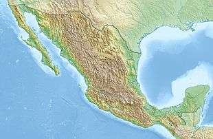 Pico del Águila Location in Mexico | |
| Highest point | |
| Elevation | 4,620 metres (15,160 ft) |
| Coordinates | 19°12′46.8″N 99°15′25.2″W / 19.213000°N 99.257000°WCoordinates: 19°12′46.8″N 99°15′25.2″W / 19.213000°N 99.257000°W |
| Geography | |
| Location | Mexico City |
Pico del Águila is a peak of the mountain range called Ajusco, located in Cumbres del Ajusco National Park at the southern outskirts of Mexico City, in the borough of Tlalpan. It is a popular Sunday hike, and can be climbed in about two hours.
This article is issued from Wikipedia - version of the 6/15/2015. The text is available under the Creative Commons Attribution/Share Alike but additional terms may apply for the media files.