Pewsham
Coordinates: 51°26′54″N 2°05′32″W / 51.448444°N 2.092123°W
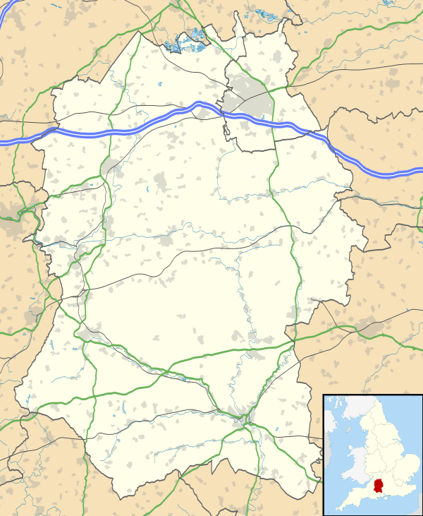
Pewsham is a small village of approximately 150 residents on the A4 national route between Chippenham and Calne in Wiltshire, southwestern England.
Although it is signposted as Pewsham on the main road at both ends of the village, it does not appear on Ordnance Survey maps. The village is occasionally referred to as Old Derry Hill. There is a small business centre (Forest Gate), a Fiat-Subaru car dealership and a village pub, The Lysley Arms. Amongst the residential buildings is the village's converted chapel.
The Wilts & Berks Canal passed close to the village, with Pewsham Locks to the south. The closest neighbouring villages are Derry Hill and Studley.
Pewsham was one of several areas that in 1842 formed the Derry Hill ecclesiastical parish. [1]
In the late 1980s and early 1990s, when large housing developments spread across several towns, Pewsham was the name given to Chippenham's new residential district in the southeast of the town. The diverted A4 which formed the district's perimeter road was named Pewsham Way.
References
- ↑ Edward Robert Kelly (1875). Wiltshire. Ed. by E.R. Kelly. (County topogr.). Kelly and Co. p. 124-125.
External links
![]() Media related to Pewsham at Wikimedia Commons
Media related to Pewsham at Wikimedia Commons