Penacook, New Hampshire
| Penacook, New Hampshire | |
|---|---|
| Unincorporated community | |
|
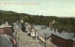
Village Street in 1911 | |
 Penacook  Penacook | |
| Coordinates: 43°16′49″N 71°36′00″W / 43.28028°N 71.60000°WCoordinates: 43°16′49″N 71°36′00″W / 43.28028°N 71.60000°W | |
| Country | United States |
| State | New Hampshire |
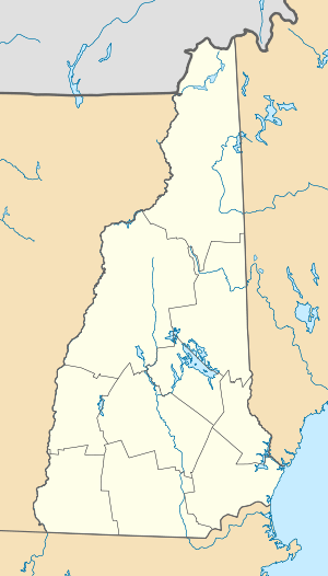
| County | Merrimack |
| City | Concord |
| Elevation | 331 ft (101 m) |
| Time zone | Eastern (EST) (UTC-5) |
| • Summer (DST) | EDT (UTC-4) |
| ZIP code | 03303 |
| Area code(s) | 603 |
| GNIS feature ID | 869059[1] |
Penacook, originally called "Fisherville",[2] is an unincorporated community within the city of Concord in Merrimack County, New Hampshire, United States. It lies along Concord's northern border with Boscawen. The name comes from the Pennacook tribe that lived in the area. "Penacook" (Pennycook) was the original name of the plantation incorporated by present-day Concord.[2]
Penacook is located along a stretch of the Contoocook River that falls 100 feet (30 m) in slightly over 1 mile (1.6 km), just before joining the Merrimack River. Early hydro-powered industry was attracted to the site, and Penacook grew as a mill town. While dams on the river still generate electricity,[3] most of the 19th- and 20th-century factories, such as Allied Leather, have long since closed.[4]
Penacook has its own phone exchange (753), which includes a portion of Boscawen, and its own ZIP code (03303), shared with Boscawen, Webster, and parts of northern Concord east of the Merrimack River. Most of Penacook is located in the Merrimack Valley School District, though part is in the Concord School District.
Notable people
- Red Rolfe, third baseman for New York Yankees and Dartmouth College athletic director[5]
References
- ↑ "Penacook". Geographic Names Information System. United States Geological Survey.
- 1 2 "City of Concord History", City of Concord Planning Department. Accessed May 6, 2007.
- ↑ "Designated Rivers - Contoocook & North Branch Mgmt. Plan" (PDF). New Hampshire Department of Environmental Services. Retrieved 5 August 2015.
- ↑ "Tannery Redevelopment". Penacook.org.
- ↑ Ex-Yankee Red Rolfe succumbs
External links
Municipalities and communities of Merrimack County, New Hampshire, United States | ||
|---|---|---|
| Cities | 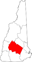 | |
| Towns | ||
| CDPs | ||
| Other unincorporated communities | ||
| Footnotes | ‡This populated place also has portions in an adjacent county or counties | |