Pembina Valley Provincial Park
| Pembina Valley Provincial Park | |
|---|---|
 | |
 | |
| Type | Provincial park |
| Location |
Rural Municipality of Stanley / Rural Municipality of Pembina |
| Nearest city | Morden, Manitoba |
| Coordinates | 49°00′54″N 98°16′02″W / 49.01500°N 98.26722°WCoordinates: 49°00′54″N 98°16′02″W / 49.01500°N 98.26722°W |
| Area | 440 acres (1.8 km2) |
| Created | 2001 |
| Operated by | Government of Manitoba |


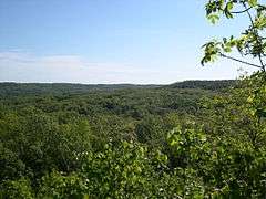
Pembina Valley Provincial Park is a provincial park in southern Manitoba, Canada. It is located 47 kilometres south-west of Morden, Manitoba, Canada on Highway 3, Highway 31, and Highway 201, and covers approximately 440 acres (180 hectares or 1.8 km2). The park was officially opened on October 5, 2001 by Premier Gary Doer and James Richardson, representing the Nature Conservancy of Canada.[1] Pembina Valley Provincial Park is Manitoba's 75th provincial park. The park contains approximately 12.7 km of hiking trails. In 2009, a 24 m (80 ft) single-span steel bridge and 9 m (30 ft) observation tower were added to the park.[2] A Rocha Canada operates a Field Study Centre on 100 acres immediately adjacent to the park,[3] and assists parks staff in conducting interpretive walks. A Rocha offers environmental, place-based learning programs for children, youth, and educators. They also operated a B&B, which earned the Pembina Valley Tourism's 2010 Award of Distinction, for travellers visiting the park that may wish to stay nearby.[4]
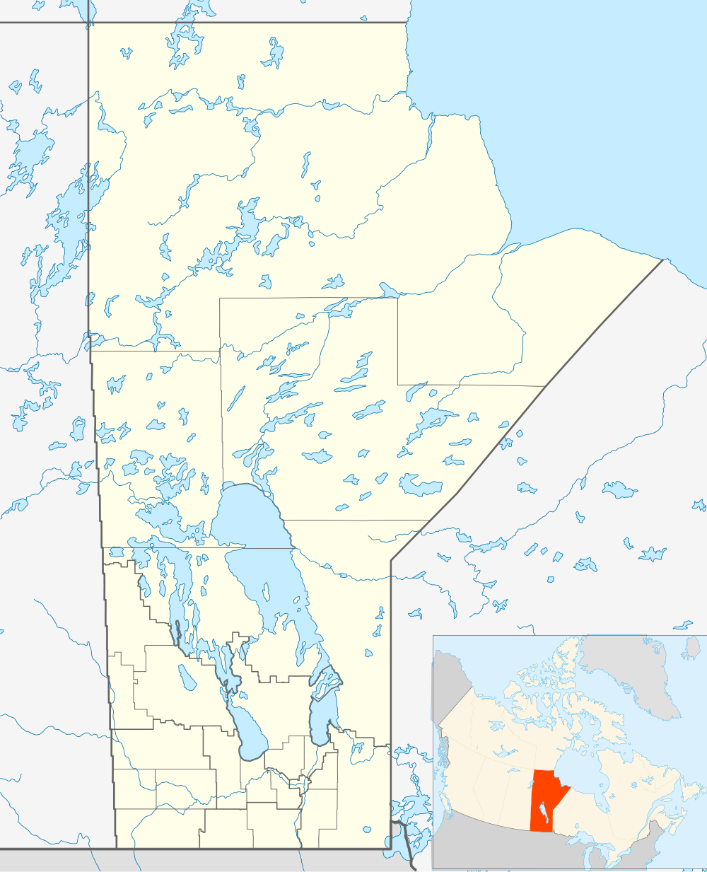
The park is located at the extreme southwest corner of the Rural Municipality of Stanley, and the extreme southeast corner of the Rural Municipality of Pembina.
See also
References
- ↑ http://www.gov.mb.ca/chc/press/top/2001/10/2001-10-05-04.html
- ↑ http://news.gov.mb.ca/news/index.html?item=7015
- ↑ A Rocha Canada. Manitoba Centre: Pembina Valley Field Station.
- ↑ Pembina Valley Tourism. Bed & Breakfasts – La Rocha.
External links
| Wikimedia Commons has media related to Pembina Valley Provincial Park. |