Patricio Lynch Island
| Native name: <span class="nickname" ">Isla Patricio Lynch | |
|---|---|
 Patricio Lynch Island | |
| Geography | |
| Coordinates | 48°37′S 75°26′W / 48.617°S 75.433°WCoordinates: 48°37′S 75°26′W / 48.617°S 75.433°W |
| Adjacent bodies of water | Pacific ocean |
| Area | 561 km2 (217 sq mi) |
| Coastline | 255.1 km (158.51 mi) |
| Highest elevation | 853 m (2,799 ft) |
| Administration | |
| Region | Magallanes |
| Province | Última Esperanza |
| Commune | Puerto Natales |
| Additional information | |
| NGA UFI= -895422 | |
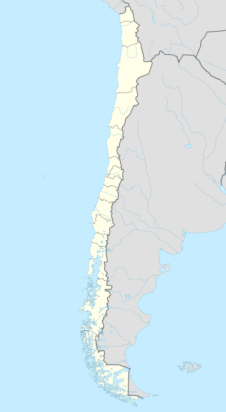
Patricio Lynch Island is an island in the Magallanes Region.
External links
This article is issued from Wikipedia - version of the 12/1/2016. The text is available under the Creative Commons Attribution/Share Alike but additional terms may apply for the media files.