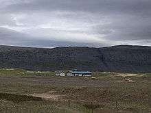
Patreksfjörður Airport
| Patreksfjörður Airport | |||||||||||
|---|---|---|---|---|---|---|---|---|---|---|---|
 | |||||||||||
| IATA: PFJ – ICAO: BIPA | |||||||||||
| Summary | |||||||||||
| Airport type | Public | ||||||||||
| Operator | Government | ||||||||||
| Serves | Patreksfjörður, Iceland | ||||||||||
| Elevation AMSL | 11 ft / 3 m | ||||||||||
| Coordinates | 65°33′25″N 23°58′10″W / 65.55694°N 23.96944°W | ||||||||||
| Map | |||||||||||
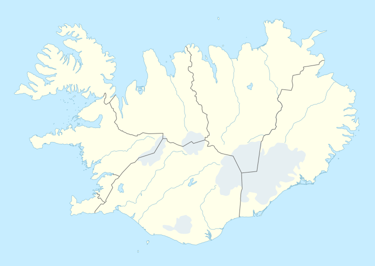 PFJ | |||||||||||
| Runways | |||||||||||
| |||||||||||
Patreksfjörður Airport or Patreksfjordur Airport (IATA: PFJ, ICAO: BIPA) is an airport serving Patreksfjörður, Iceland. The airport is across the fjord, 4.8 kilometres (3.0 mi) south of the town.
The Patreksfjordur non-directional beacon (Ident: PA) is located on the field.[4]
See also
References
- ↑ Airport information for BIPA at World Aero Data. Data current as of October 2006.Source: DAFIF.
- ↑ Airport information for PFJ at Great Circle Mapper.
- ↑ Google Maps - Patreksfjörður
- ↑ PA NDB
External links
This article is issued from Wikipedia - version of the 8/1/2016. The text is available under the Creative Commons Attribution/Share Alike but additional terms may apply for the media files.