Cima Palon
| Cima Palon | |
|---|---|
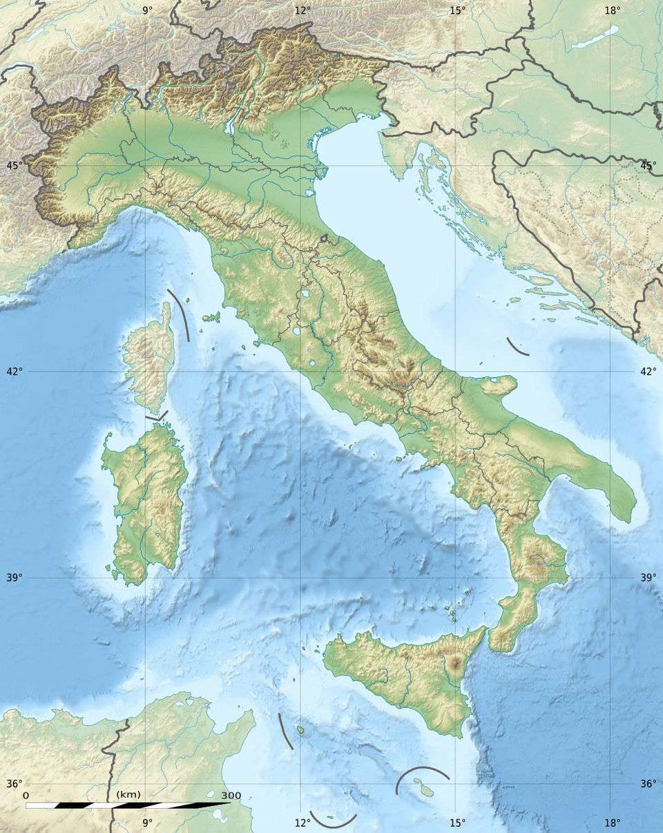 Cima Palon Location in Italy | |
| Highest point | |
| Elevation | 2,239 m (7,346 ft) |
| Coordinates | 46°01′37″N 11°03′31″E / 46.02694°N 11.05861°ECoordinates: 46°01′37″N 11°03′31″E / 46.02694°N 11.05861°E |
| Geography | |
| Location | Veneto, Italy |
Cima Palon, also called Monte Pasubio is the highest peak of the Pasubio group of Little Dolomites in Veneto, Italy. It has an elevation of 2,239 metres.[1]
The Pasubio plateau is one of the most relevant Little Dolomites massifs, and it held a high strategic role during the Great War, since it represented the last defensive position of the Venetian Plain. It was the site of fierce mine warfare on the Italian Front. In May 1916, after the Austrian Strafexpedition, an Italian contingent was urgently transferred from the Isonzo Front and under the command of General Achille Papa, they stopped the Austrian Army at Cima Palon.[2] [3]
References
- ↑ "Pasubio". tr3ntino.it. Retrieved 18 November 2015.
- ↑ "First World War one day itineraries through Italy. Suggestion no. 5: Monte Pasubio and the "52 Galleries" Road". worldwarone.it. 27 August 2012. Retrieved 18 November 2015.
- ↑ "Monte Paubio". worldwar1.com. Retrieved 18 November 2015.
This article is issued from Wikipedia - version of the 8/4/2016. The text is available under the Creative Commons Attribution/Share Alike but additional terms may apply for the media files.