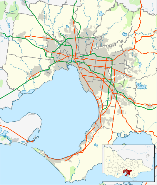
Pascoe Vale, Victoria
| Pascoe Vale Melbourne, Victoria | |||||||||||||
|---|---|---|---|---|---|---|---|---|---|---|---|---|---|
 Pascoe Vale | |||||||||||||
| Coordinates | 37°43′37″S 144°56′31″E / 37.727°S 144.942°ECoordinates: 37°43′37″S 144°56′31″E / 37.727°S 144.942°E | ||||||||||||
| Population | 14,885 (2011 census)[1] | ||||||||||||
| • Density | 3,038/km2 (7,870/sq mi) | ||||||||||||
| Postcode(s) | 3044 | ||||||||||||
| Area | 4.9 km2 (1.9 sq mi) | ||||||||||||
| Location | 10 km (6 mi) from Melbourne | ||||||||||||
| LGA(s) | City of Moreland | ||||||||||||
| State electorate(s) | Pascoe Vale | ||||||||||||
| Federal Division(s) | Wills | ||||||||||||
| |||||||||||||
Pascoe Vale is a suburb of Melbourne, Victoria, Australia, 10 km north of Melbourne's Central Business District. Its local government area is the City of Moreland. At the 2011 Census, Pascoe Vale had a population of 14,885.
History
Pascoe Vale was named after the John Pascoe Fawkner Estate, which was originally a holding of 709 acres (2.87 km2). The estate, established in 1839, was bounded by the Moonee Ponds Creek to the west, Gaffney Street to the south, Northumberland Road to the east and Rhodes Parade to the north. John Pascoe Fawkner built a timber house overlooking the creek, in the Marie Street area of Oak Park.
Pascoe Vale Post Office opened on 25 September 1911. A Pascoe Vale West Post Office opened in 1927 and closed in 1976.[2]
Pascoe Vale Road in the mid-19th century was originally called Sydney Road. For much of the 19th century, where a fast food chicken outlet in Pascoe Vale Road now exists, was once a Cobb & Co waystation. Ironically, during much of the 20th century, the same location was a chicken farm.
People
According to 2006 Census Data, 13,558 people currently reside in Pascoe Vale. This slightly more than the recorded number of residents in the 2001 Census Data, where 13,210 people were recorded as living in Pascoe Vale. The suburb has historically been less culturally diverse compared to other suburbs in Moreland. A lower proportion of Pascoe Vale residents were born overseas and Pascoe Vale has the highest proportion of Australian born citizens. 61% of people living in Pascoe Vale speak English at home, which is lower than the metropolitan average, but higher than the average in Moreland.
According to 2011 Census Data 65.3% of people in Pascoe Vale were born in Australia. The most common countries of birth were Italy 6.1%, India 2.7%, Greece 1.5%, England 1.5% and Lebanon 1.4%.
Transport
Public transport is provided by Pascoe Vale Station, on the Craigieburn railway line and tram route 55.
The Moonee Ponds Creek Trail is used by cyclists for recreation and commuting.
Politics
Pascoe Vale is located in the federal electorate of Wills. Although historically a safe Australian Labor Party electorate, the seat was held between 1980 and 1992 by former Prime Minister, Bob Hawke and by notable independent Phil Cleary, between 1992 and 1996, becoming the only non-Labor candidate to win the seat. Wills is currently held by the ALP's Kelvin Thomson.
The state electorate of Pascoe Vale is held for the ALP by former Community Services minister Christine Campbell.
Parks and gardens
Pascoe Vale is known for its many parks and gardens, including Cole Reserve, Austin Reserve, Kelvin Thomson Reserve and Gavin Park.
The Moonee Ponds Creek is the major stormwater canal in the area and flows through several of its parks and gardens.
Managed by the City of Moreland, the Pascoe Vale Swimming Pool, on Prospect St, is a popular venue during Summer.
Cafes and nightlife
There are many take-away stores scattered throughout the suburb, including pizza, fish and chips, Kebabs and Chinese, noodles and bakeries.
There are a few pubs open til late; the RSL on Cumberland Road and the Pascoe Vale Hotel, on the corner of Railway Parade and Fawkner Road.
Educational facilities
- Pascoe Vale Girls' College
- Westbreen Primary School
- Pascoe Vale Primary School
- Pascoe Vale North Primary School
- St. Oliver Plunkett Primary School
- Pascoe Vale South Primary School
St francis de sales (pascoe vale road)
Sporting clubs
- Pascoe Vale SC represents the local area for association football, or soccer and plays in the Victorian State League Division 1, the third tier of football in Association football in Australia.[3]
- Pascoe Vale Football Club, an Australian Rules football team, competes in the Essendon District Football League.[4]
- Pascoe Vale Cricket Club has been one of the more successful and enduring cricket clubs in the region, having won a number of junior and senior premierships since 1936. Its two A-Grade premierships of 1990/91 and 1991/92 were teams said to have been able to compete on a District Cricket level, such was the talent and ability in the teams, which contained district cricketers of the like of Neil Howard, Bill McGowan and Gus Gilmour.
- St Andrews Cricket Club
- Park Panthers Netball Club
- Pascoe Vale Ice Fighters
Trivia
The Pascoe Vale Veterinary Clinic, on the corner of Kent Road and Derby Street, is owned by Australian celebrity vet, Dr Harry Cooper. The infotainment series Harry's Practice was filmed at the clinic.
See also
- City of Broadmeadows - the former local government area of which Pascoe Vale was a part
- City of Coburg - the former local government area of which Pascoe Vale was a part
References
- ↑ Australian Bureau of Statistics (31 October 2012). "Pascoe Vale (State Suburb)". 2011 Census QuickStats. Retrieved 23 June 2012.
- ↑ Premier Postal History, Post Office List, retrieved 11 April 2008
- ↑ http://www.footballfedvic.com.au/common/pages/public/rv/draw.aspx?entityid=7250
- ↑ Full Points Footy, Pascoe Vale, retrieved 15 April 2009