Parasuramapura
| Parasuramapura | |
|---|---|
| village | |
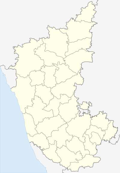 Parasuramapura  Parasuramapura Location in Karnataka, India | |
| Coordinates: 14°19′N 76°38′E / 14.32°N 76.64°ECoordinates: 14°19′N 76°38′E / 14.32°N 76.64°E | |
| Country |
|
| State | Karnataka |
| District | Chitradurga |
| Talukas | Challakere |
| Population (2001) | |
| • Total | 9,509 |
| Languages | |
| • Official | Kannada |
| Time zone | IST (UTC+5:30) |
| PIN --> | 577538 |
| Vehicle registration | KA 16 |
Parasuramapura is a village in the southern state of Karnataka, India.[1][2] It is located in the Challakere taluk of Chitradurga district in Karnataka, it is 60 km from Chitradurga, and geographically it is arid region. The River Vedavathi flows adjacent to village during rainy season and area records temperature of around 40-45 during peak summer and a minimal rainfall in rainy season, it borders with Ananthpur district of Andhra pradesh. One of the largest solar park in Asia being set up at pavagada, which is 50 km away. Nearest railway Station is at Challakere, 30 km away.
Demographics
As of 2001 India census, Parasuramapura had a population of 9509 with 4854 males and 4655 females.[1]
See also
References
- 1 2 Village code= 965900 "Census of India : Villages with population 5000 & above". Retrieved 2008-12-18.
|first1=missing|last1=in Authors list (help) - ↑ "Yahoomaps India :". Retrieved 2008-12-18. Parasuramapura, Chitradurga, Karnataka
External links
District HQ: Chitradurga | |
| Villages and Towns |
|
This article is issued from Wikipedia - version of the 8/24/2016. The text is available under the Creative Commons Attribution/Share Alike but additional terms may apply for the media files.