Orange Walk Airport
| Orange Walk Airport (Alfredo Martinez Chan Pine Ridge Airstrip) | |||||||||||
|---|---|---|---|---|---|---|---|---|---|---|---|
| IATA: ORZ – ICAO: none | |||||||||||
| Summary | |||||||||||
| Airport type | Public | ||||||||||
| Serves | Orange Walk Town, Belize | ||||||||||
| Elevation AMSL | 34 m / 112 ft | ||||||||||
| Coordinates | 18°02′46″N 088°35′01″W / 18.04611°N 88.58361°WCoordinates: 18°02′46″N 088°35′01″W / 18.04611°N 88.58361°W | ||||||||||
| Map | |||||||||||
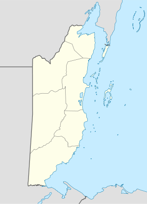 ORZ Location of the airport in Belize | |||||||||||
| Runways | |||||||||||
| |||||||||||
Orange Walk Airport or Alfredo Martinez Chan Pine Ridge Airstrip (IATA: ORZ) is a public use airport located 1 nautical mile (1.9 km; 1.2 mi) southwest of Orange Walk Town, Orange Walk District, Belize. The airstrip was refurbished with asphalt in 2014.
Scheduled Service
| Airlines | Destinations |
|---|---|
| Tropic Air | Belize City-International |
References
- ↑ Airport record for Orange Walk Airport at Landings.com. Retrieved 2013-08-09
- ↑ Airport information for ORZ at Great Circle Mapper.
- ↑ Airport information for Orange Walk Airport at Search (for) Travel website.
- ↑ Refurbished and rename, at ambergriscaye.com/forum
External links
This article is issued from Wikipedia - version of the 12/5/2016. The text is available under the Creative Commons Attribution/Share Alike but additional terms may apply for the media files.