Oppstryn
| Oppstryn | |
|---|---|
| Village | |
|
View of the village | |
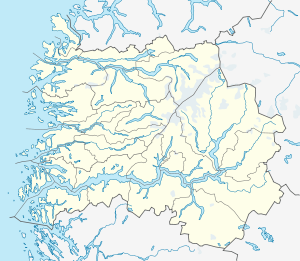 Oppstryn  Oppstryn Location in Sogn og Fjordane county | |
| Coordinates: 61°54′38″N 07°03′17″E / 61.91056°N 7.05472°ECoordinates: 61°54′38″N 07°03′17″E / 61.91056°N 7.05472°E | |
| Country | Norway |
| Region | Western Norway |
| County | Sogn og Fjordane |
| District | Nordfjord |
| Municipality | Stryn Municipality |
| Elevation[1] | 30 m (100 ft) |
| Time zone | CET (UTC+01:00) |
| • Summer (DST) | CEST (UTC+02:00) |
| Post Code | 6799 Oppstryn |

Oppstryn is a village in Stryn Municipality in Sogn og Fjordane county, Norway. The village is located on the southern shore of the large lake Oppstrynsvatnet. It is located about 15 kilometres (9.3 mi) from Ospeli and about 4 kilometres (2.5 mi) south of the village of Flo (across the lake). Norwegian National Road 15 runs through the village on its way to the village of Stryn. Oppstryn Church is located in this village.[2]
The mountain Skåla lies just southwest of the village, inside Jostedalsbreen National Park.
References
- ↑ "Oppstryn" (in Norwegian). yr.no. Retrieved 2013-10-08.
- ↑ Store norske leksikon. "Oppstryn" (in Norwegian). Retrieved 2013-10-08.
This article is issued from Wikipedia - version of the 8/1/2016. The text is available under the Creative Commons Attribution/Share Alike but additional terms may apply for the media files.