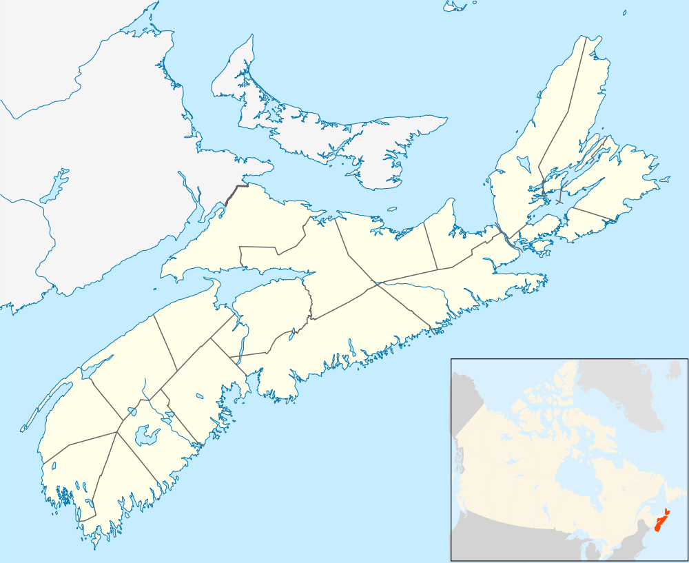
Old Annapolis Road, Nova Scotia
The Old Annapolis Road was a planned direct route between Halifax and Annapolis Royal, the current and former capitals of Nova Scotia, in Eastern Canada. Work began in 1784, but the road was never completed, though sections remain in use today.
Historical context
Annapolis Royal was the original colonial capital of Nova Scotia, until the founding of Halifax in 1749.[1] Nevertheless, in the late 18th and early 19th century it was a commercial center and an important fortified garrison for Western Nova Scotia. It was also the principal gateway to New Brunswick by sea.[2] Transportation between Halifax and Annapolis Royal was by a lengthy and indirect route known as the "Post Road" or "Great Western Road" which followed ancient trails from Halifax to Windsor, and then West through roads linking the Acadian settlements of the Annapolis Valley, approximately the same route is followed by Nova Scotia Highway No. 1 today. The Old Annapolis Road was an attempt to quickly connect Annapolis Royal with Halifax and open up the interior for settlement. It was the most ambitious of several roads built in the late 18th century to connect coastal settlements to Annapolis Royal. Other examples were the equally unsuccessful and identically named "Old Annapolis Road" from Shelburne to Annapolis Royal, started in 1785 but abandoned by 1814,[3] and the more successful Liverpool to Annapolis Royal Road built in the 1790s which later grew to become Nova Scotia's Highway No. 8.
Geography
The interior of Nova Scotia consists of thick forest, extensive swamps and thin soils with only the occasional pocket of marginally fertile soil. In the early 19th century, the interior was an uninhabited wilderness. The route of the Halifax to Annapolis Royal road was varied to make areas of potentially-better farmland more accessible.
Work began on surveying a new road from Halifax to Annapolis Royal as early as 1776. In 1784 a new survey was conducted to plan a new route through the wilderness between the two cities, with the intention of reducing travel time - particularly for the movement of troops - and opening up the land for settlement.[4]
Construction

Road building commenced in 1784. After a few miles had been constructed at the Western (Annapolis Royal) end of the road, work ceased. In 1816 construction resumed, with portions of the road slightly relocated to provide access of land considered more suitable for settlement. Considerable progress was made in the West, with the road reaching Sherbrooke - today known as New Ross[5] - approximately halfway along the intended route. East of Sherbrooke, the hostile terrain proved too difficult and while the route was cleared to Halifax, construction halted.[4]
Some construction was completed at the Halifax end which began at the Hammonds Plains Road and which led to the Bedford Highway near Kearney Lake. Settlements by Black Refugees from the War of 1812 were successful along the first stretch of the Annapolis Road from Halifax which later became known as the Pockwock Road. West of Hammonds Plains, the road became known as the Camptown Road and connected a number of mills and lumber camps as far as Rafter Lake. However further west, beyond Card Lake, the road was never completed or settled.[6]
The road today

Sections of the road are in use as parts of the road from Annapolis Royal to New Ross, which follows approximately the same route as that surveyed in 1784.[7] Sections of the Eastern construction still exist as the alignment of several local road segments such as the Pockwock Road as well as logging roads and trails. One section of the road near Halifax was developed by the Bowater Mersey Paper company as the Old Annapolis Road Hiking Trail[8] and has been popular with hikers, although it was abandoned by the paper company in 2012.[9]
References
- ↑ Orkin, David (2010). Nova Scotia. Bradt Travel Guides. p. 200. ISBN 978-1-84162-282-8.
- ↑ Dawson, Joan (2009). Nova Scotia's Lost Highways - The Early Roads That Shaped the Province. Nimbus Publishing Ltd. p. 80. ISBN 978-1-55109-732-9.
- ↑ Marion Robertson, The Kings Bounty, pp. 158-161
- 1 2 Dawson, Joan (2009). Nova Scotia's Lost Highways - The Early Roads That Shaped the Province. Nimbus Publishing Ltd. p. 86. ISBN 978-1-55109-732-9.
- ↑ Brown, Thomas J (2008). Place-Names Of The Province Of Nova Scotia. READ BOOKS. p. 104. ISBN 978-1-4086-9104-5.
- ↑ Sanders, Mike; Beanlands, SSara (August 2009). "Highway 113 Archaeological Assessment" (PDF). Nova Scotia Transportation and Infrastructure Renewal. Retrieved 29 December 2010.
- ↑ Dawson, Joan (2009). Nova Scotia's Lost Highways - The Early Roads That Shaped the Province. Nimbus Publishing Ltd. p. 88. ISBN 978-1-55109-732-9.
- ↑ Wharton, Danielle. "Wilderness Walks in Nova Scotia - The Old Annapolis Road Pocket Wilderness". Outdoors NS. Retrieved 28 August 2010.
- ↑ "Old Annapolis Road Hiking Trail Under Revision", Halifax County, Trails Nova Scotia