Nová Ves nad Žitavou
| Nová Ves nad Žitavou | |
|---|---|
| Village | |
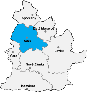 Map of Nitra Region highlighting Nitra District | |
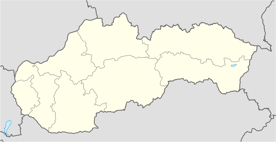 Nová Ves nad Žitavou Location of Nová Ves nad Žitavou in Slovakia | |
| Coordinates: 48°17′N 18°20′E / 48.283°N 18.333°ECoordinates: 48°17′N 18°20′E / 48.283°N 18.333°E | |
| Country | Slovakia |
| Kraj | Nitra Region |
| Okres | Nitra District |
| Area | |
| • Total | 10.173 km2 (3.928 sq mi) |
| Elevation | 164 m (538 ft) |
| Population | |
| • Total | 1,270 |
| • Density | 120/km2 (320/sq mi) |
| Ethnicity | |
| • Slovak | 99% |
| • Magyar | 1% |
| Website |
www |
Nová Ves nad Žitavou is a village and municipality in the Nitra District in western central Slovakia, in the Nitra Region.[1] The village lies at an elevation of 164 metres (538 ft) and covers an area of 10.173 km2 (3.928 sq mi). It has a population of about 1,270 people, with a distribution of approximately 99% Slovak and 1% Magyar. It was first mentioned in historical records in 1355.[2] Since 1925 the village has a football club.
The village has a public library, a gym and a football pitch.
References
- ↑ http://en.e-obce.sk/obec/novavesnadzitavou/nova-ves-nad-zitavou.html
- ↑ "História obce" [History of the village]. Nová Ves nad Žitavou (in Slovak). Archived from the original on 27 March 2011. Retrieved 27 March 2011.
Nová Ves nad Žitavou sa prvýkrát spomína v zachovanej listine z roku 1355.
External links
- Official website (Slovak)
- https://web.archive.org/web/20070513023228/http://www.statistics.sk/mosmis/eng/run.html
This article is issued from Wikipedia - version of the 3/21/2016. The text is available under the Creative Commons Attribution/Share Alike but additional terms may apply for the media files.