Newton Municipal Airport (Iowa)
| Newton Municipal Airport | |||||||||||
|---|---|---|---|---|---|---|---|---|---|---|---|
| IATA: TNU – ICAO: KTNU – FAA LID: TNU | |||||||||||
| Summary | |||||||||||
| Airport type | Public | ||||||||||
| Owner | City of Newton | ||||||||||
| Serves | Newton, Iowa | ||||||||||
| Elevation AMSL | 953 ft / 290 m | ||||||||||
| Coordinates | 41°40′28″N 093°01′18″W / 41.67444°N 93.02167°W | ||||||||||
| Map | |||||||||||
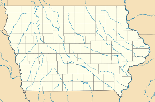 TNU  TNU Location of airport in Iowa/United States | |||||||||||
| Runways | |||||||||||
| |||||||||||
| Statistics (2007) | |||||||||||
| |||||||||||
Newton Municipal Airport (IATA: TNU, ICAO: KTNU, FAA LID: TNU) is a city owned public use airport located two miles (3 km) southeast of the central business district of Newton, a city in Jasper County, Iowa, United States.[1]
Facilities and aircraft
Newton Municipal Airport covers an area of 304 acres (123 ha) which contains one runway designated 14/32 with a 5,599 x 100 ft (1,707 x 30 m) asphalt surface. For the 12-month period ending September 12, 2007, the airport had 9,000 aircraft operations, an average of 24 per day: 93% general aviation and 7% air taxi. At that time there were 21 aircraft based at this airport: 90% single-engine and 10% multi-engine.[1]
Fly Iowa 2011
On September 17th, 2011, Newton will be the host of the annual Fly Iowa Airshow. Fly Iowa travels to a different town in Iowa and hosts an airshow for the public.
References
External links
- FAA Terminal Procedures for TNU, effective December 8, 2016
- Resources for this airport:
- FAA airport information for TNU
- AirNav airport information for KTNU
- ASN accident history for TNU
- FlightAware airport information and live flight tracker
- NOAA/NWS latest weather observations
- SkyVector aeronautical chart, Terminal Procedures