New Providence Airport
| New Providence Airport | |
|---|---|
| IATA: PID – ICAO: MYPI | |
| Summary | |
| Airport type | Private |
| Serves | Paradise Island |
| Location | Bahamas |
| Elevation AMSL | 4 ft / 1 m |
| Coordinates | 25°4′45″N 77°17′36″W / 25.07917°N 77.29333°WCoordinates: 25°4′45″N 77°17′36″W / 25.07917°N 77.29333°W |
| Map | |
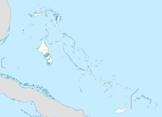 MYPI Location of New Providence Airport in the Bahamas | |
New Providence Airport (IATA: PID, ICAO: MYPI) was a private use airport located on Paradise Island, the Bahamas. It closed in 1999 and the land incorporated into the island resort.
See also
References
- ↑ Airport record for New Providence Airport at Landings.com. Retrieved 2013-08-08
- ↑ Google (2013-08-08). "location of New Providence Airport" (Map). Google Maps. Google. Retrieved 2013-08-08.
External links
- Airport record for New Providence Airport at Landings.com
This article is issued from Wikipedia - version of the 11/9/2016. The text is available under the Creative Commons Attribution/Share Alike but additional terms may apply for the media files.