Nekemte Airport
| Nekempte Airport | |||||||||||
|---|---|---|---|---|---|---|---|---|---|---|---|
| IATA: NEK – ICAO: HANK | |||||||||||
| Summary | |||||||||||
| Serves | Nekemte, Ethiopia | ||||||||||
| Elevation AMSL | 6,500 ft / 1,981 m | ||||||||||
| Coordinates | 9°3′N 36°36′E / 9.050°N 36.600°ECoordinates: 9°3′N 36°36′E / 9.050°N 36.600°E | ||||||||||
| Map | |||||||||||
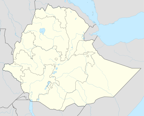 NEK Location of the airport in Ethiopia | |||||||||||
| Runways | |||||||||||
| |||||||||||
|
Great Circle Mapper[1] | |||||||||||
Nekemte Airport (IATA: NEK, ICAO: HANK) is an airport serving Nekemte, Ethiopia.
See also
 Aviation portal
 Ethiopia portal
- List of airports in Ethiopia
References
- ↑ Airport information for Nekemte Airport at Great Circle Mapper.
This article is issued from Wikipedia - version of the 12/5/2016. The text is available under the Creative Commons Attribution/Share Alike but additional terms may apply for the media files.