Nang Rong, Buriram
| Nang Rong | |
|---|---|
| Town | |
|
Nang Rong | |
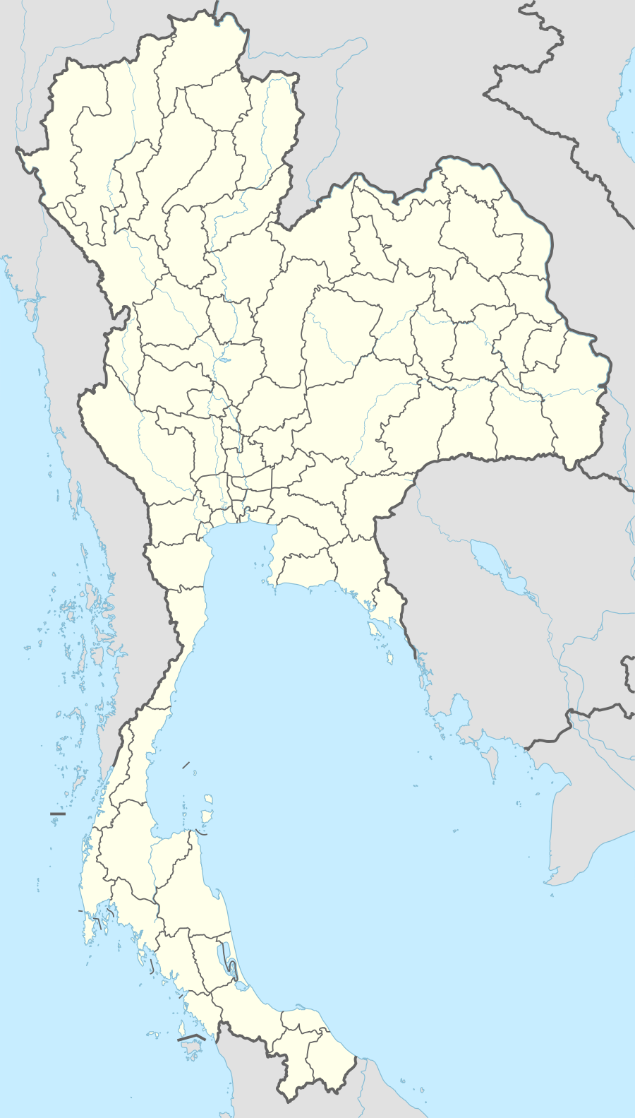 Nang Rong Location in Thailand | |
| Coordinates: 14°37′42″N 102°47′36″E / 14.62833°N 102.79333°E | |
| Country |
|
| Province | Buriram Province |
| Districts of Thailand | Nang Rong District |
| Population (2012)[1] | |
| • Total | 21,257 |
| • Metro density | 2,650/sq mi (1,023/km2) |
| Website | http://nangrongmuni.go.th/ |

Nang Rong (Thai: นางรอง) is a town (Thesaban Mueang) of Buriram Province, north-eastern Thailand.
History
The first local government for Nang Rong was created in 1957, when it became a sanitary district (sukhaphiban).[2] On November 8, 1986, the sanitary district was upgraded to a subdistrict municipality (thesaban tambon),[3] and effective August 3, 2005, it became a town (thesaban mueang).[4]
Geography
Nang Rong is the central town of Nang Rong District, containing the district office and other government offices. It is the closest major town to the Phanom Rung Historical Park, an 11th-century religious site.
Administration divisions
Nang Rong is subdivided into 20 boroughs (Chumchon).[5]
- Wat Khun Kong (ชุมชนวัดขุนก้อง)
- Wat Klang (ชุมชนวัดกลาง)
- War Rong Man Thet (ชุมชนวัดร่องมันเทศ)
- Wat Pa Re Rai (ชุมชนวัดป่าเรไร)
- Wat Pa Ta Seng (ชุมชนป่าตาเส็ง)
- Wat Thanon Hak (ชุมชนวัดถนนหัก)
- Ban Kao (ชุมชนบ้านเก่า)
- Wat Mai Re Rai Thong (ชุมชนวัดใหม่เรไรทอง)
- Nong Phrong (ชุมชนหนองโพรง)
- Thung Laem (ชุมชนทุ่งแหลม)
- Nong Ri (ชุมชนหนองรี)
- Ban Nong Krat (ชุมชนบ้านหนองกราด)
- Ban Nong Samet (ชุมชนบ้านหนองเสม็ด)
- Ban Chabuak (ชุมชนบ้านจะบวก)
- Khok Luang Pho (ชุมชนโคกหลวงพ่อ)
- Ban Don Salaeng Phan (ชุมชนบ้านดอนแสลงพันธ์)
- Ban Thanon Hak (ชุมชนบ้านถนนหัก)
- Thanon Hak Phatthana (ชุมชนถนนหักพัฒนา)
- Wat Suan Pa Rak Nam (ชุมชนวัดสวนป่ารักน้ำ)
- Wat Hua Saphan (ชุมชนวัดหัวสะพาน)
Climate
| Climate data for Nang Rong, Buriram | |||||||||||||
|---|---|---|---|---|---|---|---|---|---|---|---|---|---|
| Month | Jan | Feb | Mar | Apr | May | Jun | Jul | Aug | Sep | Oct | Nov | Dec | Year |
| Average high °C (°F) | 30.8 (87.4) |
33.8 (92.8) |
35.5 (95.9) |
36.0 (96.8) |
34.5 (94.1) |
33.7 (92.7) |
33.2 (91.8) |
32.6 (90.7) |
31.8 (89.2) |
30.7 (87.3) |
29.5 (85.1) |
29.2 (84.6) |
32.61 (90.7) |
| Average low °C (°F) | 17.0 (62.6) |
20.1 (68.2) |
22.3 (72.1) |
24.1 (75.4) |
24.4 (75.9) |
24.4 (75.9) |
24.0 (75.2) |
23.8 (74.8) |
23.5 (74.3) |
22.8 (73) |
20.3 (68.5) |
17.2 (63) |
21.99 (71.58) |
| Average precipitation mm (inches) | 8.2 (0.323) |
11.0 (0.433) |
37.9 (1.492) |
76.5 (3.012) |
154.7 (6.091) |
140.6 (5.535) |
160.7 (6.327) |
177.0 (6.969) |
232.8 (9.165) |
143.2 (5.638) |
36.8 (1.449) |
3.2 (0.126) |
1,182.6 (46.56) |
| Source: TMD.[6] | |||||||||||||
Transport
Nang Rong is connected to Bangkok mainly by bus, with buses arriving and departing hourly during the day.
Religion
Main religion of Nang Rong is Buddhism.
References
- ↑ http://nangrongmuni.go.th/default.php?modules=fckeditor&fck_id=5&view_id=56&orderby=1
- ↑ "ประกาศกระทรวงมหาดไทย เรื่อง จัดตั้งสุขาภิบาลนางรอง อำเภอนางรอง จังหวัดบุรีรัมย์" (PDF). Royal Gazette (in Thai). 74 (4 ง ฉบับพิเศษ): 53–54. 1957-01-07.
- ↑ "พระราชกฤษฎีกาจัดตั้งเทศบาลตำบลนางรอง อำเภอนางรอง จังหวัดบุรีรัมย์ พ.ศ. ๒๕๒๙" (PDF). Royal Gazette (in Thai). 103 (194 ก ฉบับพิเศษ): 1–5. 1986-11-07.
- ↑ "ประกาศกระทรวงมหาดไทย เรื่อง เปลี่ยนแปลงฐานะเทศบาลตำบลเป็นเทศบาลเมือง" (PDF). Royal Gazette (in Thai). 122 (พิเศษ 77 ง): 9. 2005-09-07.
- ↑ "เทศบาลเมืองนางรอง - ลักษณะที่ตั้ง".
- ↑ http://www.tmd.go.th/province_stat.php?StationNumber=48436
External links
 Nang Rong travel guide from Wikivoyage