Nakhon Ratchasima Airport
| Nakhon Ratchasima Airport ท่าอากาศยานนครราชสีมา | |||||||||||
|---|---|---|---|---|---|---|---|---|---|---|---|
| IATA: NAK – ICAO: VTUQ | |||||||||||
| Summary | |||||||||||
| Airport type | Public | ||||||||||
| Serves | Nakhon Ratchasima | ||||||||||
| Location | Amphoe Chaloem Phra Kiat | ||||||||||
| Elevation AMSL | 765 ft / 233 m | ||||||||||
| Coordinates | 14°56′58″N 102°18′45″E / 14.94944°N 102.31250°E | ||||||||||
| Map | |||||||||||
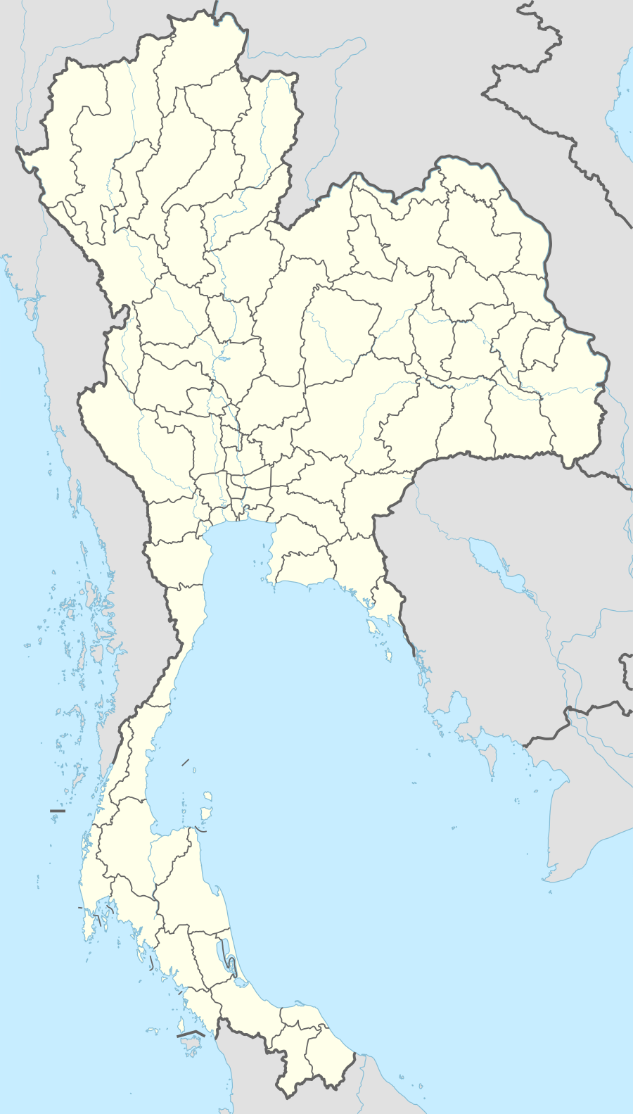 NAK Location of airport in Thailand | |||||||||||
| Runways | |||||||||||
| |||||||||||
Nakhon Ratchasima Airport (IATA: NAK, ICAO: VTUQ), is a domestic airport serving Nakhon Ratchasima (Korat), Thailand.[1]
Nakhon Ratchasima airport is in Amphoe Chaloem Phra Kiat, approximately 26 kilometers east of the city of Nakhon Ratchasima.
As of July 2015 there are no scheduled flights serving the airport.
References
- ↑ "(NAK) Nakhon Ratchasima Airport Overview". FlightStats. Retrieved 1 July 2015.
External links
-
 Nakhon Ratchasima travel guide from Wikivoyage
 - Airport information for VTUQ at World Aero Data. Data current as of October 2006.
City of Nakhon Ratchasima | |||||||||||
|---|---|---|---|---|---|---|---|---|---|---|---|
| Government and localities |
|  | |||||||||
| Buildings and landmarks |
| ||||||||||
| Economy |
| ||||||||||
| Transport |
| ||||||||||
| Culture |
| ||||||||||
| Education |
| ||||||||||
| Other topics |
| ||||||||||
This article is issued from Wikipedia - version of the 11/27/2016. The text is available under the Creative Commons Attribution/Share Alike but additional terms may apply for the media files.