Nahlin Mountain
| Nahlin Mountain | |
|---|---|
 Nahlin Mountain | |
| Highest point | |
| Elevation | 1,972 m (6,470 ft) [1] |
| Prominence | 1,091 m (3,579 ft) [1] |
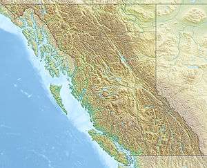
| Coordinates | 58°51′26″N 132°05′17″W / 58.85722°N 132.08806°WCoordinates: 58°51′26″N 132°05′17″W / 58.85722°N 132.08806°W [2] |
| Geography | |
| Location | British Columbia, Canada |
| Parent range | Interior Mountains |
| Topo map | NTS 104K/16 |
Nahlin Mountain is a mountain on the north side of the Nahlin River in far northwestern British Columbia, Canada.[2]
See also
References
- 1 2 "Nahlin Mountain". Bivouac.com. Retrieved 2010-05-14.
- 1 2 "Nahlin Mountain". BC Geographical Names. Retrieved 2010-05-14.
This article is issued from Wikipedia - version of the 12/6/2015. The text is available under the Creative Commons Attribution/Share Alike but additional terms may apply for the media files.