Nag Hammadi
| Nag Hammadi | |
|---|---|
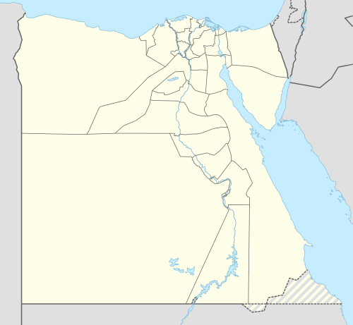 Nag Hammadi Location in Egypt | |
| Coordinates: 26°03′N 32°15′E / 26.050°N 32.250°E | |
| Country |
|
| Governorate | Qena |
| Population (2007) | |
| • Total | 42,820 |
| Time zone | EST (UTC+2) |

Nag Hammadi (Arabic: نجع حمادى Najʿ Ḥammādī; conventional English pronunciation: /ˌnɑːɡ.həˈmɑːˌdiː/, NAHG-huh-MAH-dee) is a city in Upper Egypt. It is located on the west bank of the Nile in the Qena Governorate, about 80 kilometres north-west of Luxor.
It had a population of close to 43,000 as of 2007. Sugar and aluminium are produced in Nag Hammadi. Egyptalum is the largest aluminium producer in the Middle East. Wood particleboard is manufactured from sugar cane bagasse.
The town of Nag Hammadi is named for its founder, Mahmoud Pasha Hammadi, a member of the Hammadi family in Sohag, Egypt. Mahmoud Pasha Hammadi was a major landholder in Sohag, and known for his strong opposition to the British occupation of 1882.
Nag Hammadi is about 5 km west of ancient Chenoboskion (Ancient Greek: Χηνοβόσκιον) The "Nag Hammadi library", an important collection of 2nd-century Gnostic texts, was found at Jabal al-Ṭārif near Nag Hammadi was the site in 1945.[1]
The city was the site of the Nag Hammadi massacre in January 2010, wherein eight Coptic Christians were shot dead by three men.[2] In total, nineteen Coptic Christians were attacked.[2][3]
Notes
- ↑ James M. Robinson (1988). The Nag Hammadi Library. San Francisco: Harper San Francisco.. "The Nag Hammadi library consists of twelve books, plus eight leaves removed from a thirteenth book in late antiquity and tucked inside the front cover of the sixth. These eight leaves comprise a complete text, an independent treatise taken out of a book of collected essays". (p. 10). "nag-hammadi.com".
- 1 2 "Egypt's anxious Copts 'await next catastrophe'" (25 January 2010) BBC News
- ↑ "Egypt church attack kills Copts". BBC News. 2010-01-07.
Coordinates: 26°03′N 32°15′E / 26.050°N 32.250°E