Nabih Saleh
| Native name: <span class="nickname" ">جزيرة النبيه صالح (Arabic) | |
|---|---|
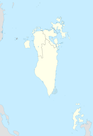 Nabih Saleh Island Location of Nabih Saleh Island in Bahrain | |
| Geography | |
| Location | Persian Gulf |
| Coordinates | 26°10′59″N 50°35′06″E / 26.183°N 50.585°ECoordinates: 26°10′59″N 50°35′06″E / 26.183°N 50.585°E |
| Archipelago | Bahrain |
| Adjacent bodies of water | Persian Gulf |
| Total islands | 1 |
| Major islands |
|
| Area | 1.3 km2 (0.50 sq mi) |
| Length | 1.4 km (0.87 mi) |
| Width | 1.2 km (0.75 mi) |
| Coastline | 9 km (5.6 mi) |
| Highest elevation | 4 m (13 ft) |
| Highest point | Mountain of Smoke |
| Administration | |
| Governorate | Northern Governorate |
Largest settlement |
Nabih Saleh (population 3000) |
| Demographics | |
| Demonym | Bahraini |
| Population | 3000 (2010) |
| Pop. density | 2,300 /km2 (6,000 /sq mi) |
| Ethnic groups | Bahraini, non-Bahraini |
| Additional information | |
| Time zone | |
| Official website |
www |
| ISO Code = BH-14 | |
Nabih Saleh (Arabic: النبيه صالح) is an island of Bahrain in the Persian Gulf. It lies in the Tubli Bay, east of Bahrain Island, and has a distance of 2.5 km (1.6 mi) south of the capital, Manama, on Bahrain Island.
History
The island is named for the formerly separate islands of Nebbi and Saleh.[1] Saleh was named for the Shia Muslim scholar, Sheikh Saleh, who lived there in the 14th century.[2] This island originally, like Sitra, was covered with farms and date palm groves, but now it suffers from mass deforestation.[2][3] In 2016 renovation works began on the island [4][5]
Demography
There are two villages located on the Island:
- Nabih Saleh
- Juzayyirah
Shias form a large portion of the island's population.
Administration
The island belongs to Northern Governorate .
Transportation
It is connected to both Bahrain Island and Sitra through the Sitra Causeway.
Image gallery
 Map 1
Map 1 District Map
Citations
| Wikimedia Commons has media related to Nabih Saleh. |
Bibliography
- "Bahrein Islands", Encyclopædia Britannica, 11th ed., Vol. III, Cambridge: Cambridge University Press, 1911, p. 212.
External links
- About Nabih Saleh (Arabic)