Muscatine Municipal Airport
| Muscatine Municipal Airport | |||||||||||||||
|---|---|---|---|---|---|---|---|---|---|---|---|---|---|---|---|
| IATA: MUT – ICAO: KMUT – FAA LID: MUT | |||||||||||||||
| Summary | |||||||||||||||
| Airport type | Public | ||||||||||||||
| Owner | City of Muscatine | ||||||||||||||
| Serves | Muscatine, Iowa | ||||||||||||||
| Elevation AMSL | 547 ft / 167 m | ||||||||||||||
| Coordinates | 41°22′04″N 091°08′54″W / 41.36778°N 91.14833°W | ||||||||||||||
| Map | |||||||||||||||
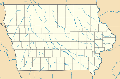 MUT  MUT Location of airport in Iowa/United States | |||||||||||||||
| Runways | |||||||||||||||
| |||||||||||||||
| Statistics (2007) | |||||||||||||||
| |||||||||||||||
Muscatine Municipal Airport (IATA: MUT, ICAO: KMUT, FAA LID: MUT) is a city owned public use airport located five miles (8 km) southwest of the central business district of Muscatine, a city in Muscatine County, Iowa, United States.[1]
Facilities and aircraft
Muscatine Municipal Airport covers an area of 604 acres (244 ha) which contains two concrete paved runways: 6/24 measuring 5,500 x 100 ft (1,676 x 30 m) and 12/30 measuring 4,000 x 75 ft (1,219 x 23 m).[1]
For the 12-month period ending May 24, 2007, the airport had 14,106 aircraft operations, an average of 38 per day: 94% general aviation and 6% air taxi. At that time there were 36 aircraft based at this airport: 75% single-engine, 8% multi-engine, 11% jet and 6% glider.[1]
Accidents and Incidents
January 16 1997 an Learjet 24 operated by Air Cargo Express crashed after landing at Muscatine. Snow on the side of the runway caused the plane to be dragged to the left. The plane departed to the left and came to rest 300 yards before coming to a stop. Probable cause was the pilot's failure to maintain directional control.
References
External links
- Muscatine Municipal (MUT) at Iowa DOT Office of Aviation
- Resources for this airport:
- FAA airport information for MUT
- AirNav airport information for KMUT
- ASN accident history for MUT
- FlightAware airport information and live flight tracker
- NOAA/NWS latest weather observations
- SkyVector aeronautical chart, Terminal Procedures