Muniguda
| Muniguda | |
|---|---|
| Block/town | |
 Muniguda  Muniguda Location in Odisha, India | |
| Coordinates: 19°38′N 83°29′E / 19.63°N 83.49°ECoordinates: 19°38′N 83°29′E / 19.63°N 83.49°E | |
| Country |
|
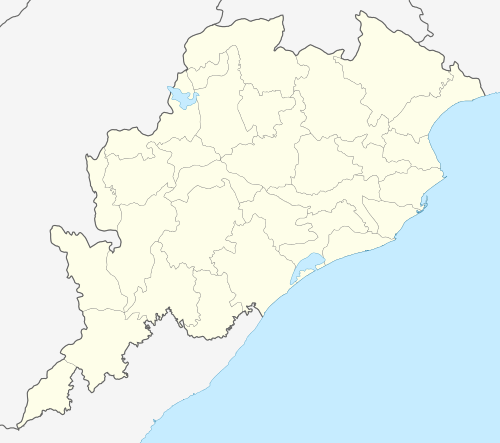
| State | Odisha |
| District | Rayagada |
| Elevation | 207 m (679 ft) |
| Population | |
| • Total | 20,000 |
| Languages | |
| • Official | Oriya, English |
| • Other | Telugu |
| Time zone | IST (UTC+5:30) |
| PIN | 765020 |
| Telephone code | 91-6863 |
| Vehicle registration | OD |
| Website |
odisha |
Muniguda, located 60 km from Rayagada, is a block in the Rayagada district (Odisha state) of India.[1]
Muniguda, once, was rich with natural greenery, hills & peaceful tribal people. The population of Muniguda is approximately sixtysix thousan as per censusindia report 2011.[2]
Major industry
Cotton is grown in this area and is a major industry that supports its population. In January 2007, there was unrest in the area regarding the cotton industry and its sales. This prompted the government to create Cotfed, The Odisha Cotton Growers' Co-operative Federation. and here mainly peoples depends on cultivation and paddy is major part of cultivation and other seasonal goods like jhudunga, black gram (udad), hill gram (arhar), nigerseeds, tillyseeds, gurjee, jawar, maize, musterseed, turmeric and many more with forest base products also procure in a huge quantity.
Vedanta Alumina Ltd., is the recent major industrial project nearby Muniguda catering to all the latest developments in commercial domain.[3]
Health Care Services
"Govt Community Health Center, Muniguda" (Muniguda Hospital) is the main instant medical service available in the heart of the city. Currently it is assisted by an "108 Emergency service" to improve the health care system.
Transportation
This town is well connected through road & rail and is a commercial hub for this area. All the nearby small towns & villages rely on Muniguda for trading.
Road Link
SH5 and SH6 are the state highway passes through the town. It has one bus station named as Muniguda Bus Station). Bus service both private and government are used to connect with city like Bhawanipatna, Rayagada, Phulbani, Berhampur, Bhubaneswar, Vishakhapatnam, Chandarpur, Gunupur, Paralakhemundi etc.
Rail Link
Muniguda Railway Station is the one and only railway station serving the city having India railway code "MNGD". Muniguda is accessible by train from Bhubaneshwar, Visakhapatnam, Raipur, Sambalpur, Berhampur, Rourkela, Kolkata (Calcutta), Delhi, Chennai (Madras), Hyderabad, Tirupati and Mumbai, Ahmedabad, Bangalore.
Air Link (Nearest 3 airports)
1. Visakhapatnam - Distance 240 km
2. Raipur - Distance 290 km
3. Bhubaneswar - Distance 382 km
Education
Govt Schools - UGUP School, ME School, Dhubasai School, Muniguda High School etc.
Private Schools - Don Bosco School, Saraswati Vidyamandirs, Bathel, Vivekanadan, DAV Lanjigarh, New Life English Medium School,The Ramakrishna Mission School, Hatamuniguda
Higher Education - Muniguda Arts College, Bathel Science College
Bank and ATM
State Bank of India, Munuiguda
LAMP, Muniguda
KCC Bank, Muniguda
Utkal Gramya Bank, Muniguda
Indian Overseas Bank, Hata Muniguda
ICICI Bank, Muniguda
Union bank of India, Muniguda
SBI ATM, ICICI ATM, Indian Overseas Bank ATM, Axis Bank ATM [4]
Ashrama
Dibya Darshan Ashram Gyana Mandira, founded by Sadguru Sri Sri ARJUN, is located at Hukumtola Road in front of Bhairab Mandira.
References
- ↑ "Muniguda Tehsil". onefivenine.com. 2012. Retrieved 5 June 2012.
Muniguda is a Town in Muniguda Tehsil in Rayagada District
- ↑ " census India 2011 report"
- ↑ "Vedanta Alumina".
- ↑ "The Hindu". Retrieved 2007-11-29.