Mount Vernon Airport
| Mt. Vernon Outland Airport | |||||||||||||||
|---|---|---|---|---|---|---|---|---|---|---|---|---|---|---|---|
| IATA: MVN – ICAO: KMVN – FAA LID: MVN | |||||||||||||||
| Summary | |||||||||||||||
| Airport type | Public | ||||||||||||||
| Operator | Mount Vernon Airport Authority | ||||||||||||||
| Location | Mount Vernon, Illinois | ||||||||||||||
| Elevation AMSL | 480 ft / 146.3 m | ||||||||||||||
| Coordinates | 38°19′24″N 88°51′31″W / 38.32333°N 88.85861°WCoordinates: 38°19′24″N 88°51′31″W / 38.32333°N 88.85861°W | ||||||||||||||
| Map | |||||||||||||||
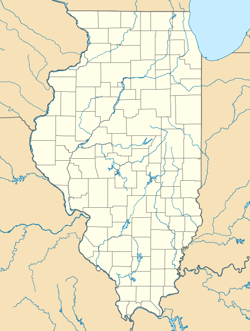 MVN  MVN Location of airport in Illinois/United States | |||||||||||||||
| Runways | |||||||||||||||
| |||||||||||||||
Mount Vernon Outland Airport (IATA: MVN, ICAO: KMVN) is three miles (5 km) east of Mount Vernon, in Jefferson County, Illinois. It has no scheduled airline, but it was once served by Air Kentucky doing business as US Airways Express. From the 1960s through the mid 1980s the airport was also served by Ozark Airlines. This ended with Ozark Airlines being sold to Trans World Airlines (TWA) in 1986. The airport is named for longtime airport board member Earl Outland.
Facilities
Mount Vernon Airport covers 1,100 acres (445 ha) and has two runways:
- 5/23: 6,498 by 150 ft (1,981 by 46 m) Asphalt
- 15/33: 3,149 by 100 ft (960 by 30 m) Asphalt
References
External links
- Resources for this airport:
- FAA airport information for MVN
- AirNav airport information for KMVN
- ASN accident history for MVN
- FlightAware airport information and live flight tracker
- NOAA/NWS latest weather observations
- SkyVector aeronautical chart, Terminal Procedures
- http://www.mtvernonairport.com
This article is issued from Wikipedia - version of the 10/16/2016. The text is available under the Creative Commons Attribution/Share Alike but additional terms may apply for the media files.