Mount Davis (Antarctica)
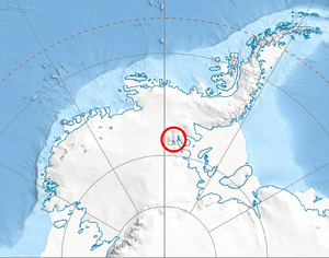
Location of Sentinel Range in Western Antarctica
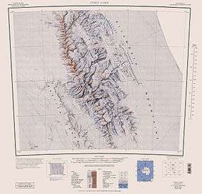
Sentinel Range map
Mount Davis (78°06′S 86°15′W / 78.100°S 86.250°WCoordinates: 78°06′S 86°15′W / 78.100°S 86.250°W) is a mountain located 1.6 km north of Mount Bentley and 2.4 km southeast of Mount Hale in the Sentinel Range, Antarctica. Discovered by the Marie Byrd Land Traverse party, 1957–58, and named for Leo E. Davis, geomagnetician and seismologist at Byrd Station in 1957.[1]
References
- ↑ "Mount Davis". Geographic Names Information System. United States Geological Survey. Retrieved 2006-10-09.
![]() This article incorporates public domain material from the United States Geological Survey document "Mount Davis (Antarctica)" (content from the Geographic Names Information System).
This article incorporates public domain material from the United States Geological Survey document "Mount Davis (Antarctica)" (content from the Geographic Names Information System).
This article is issued from Wikipedia - version of the 11/12/2015. The text is available under the Creative Commons Attribution/Share Alike but additional terms may apply for the media files.