Mount Balatukan
| Mount Balatukan | |
|---|---|
| |
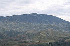 The mountain as seen from the western side | |
| Highest point | |
| Elevation | 2,450 m (8,040 ft) [1][2] |
| Coordinates | 8°46′12″N 124°58′48″E / 8.77000°N 124.98000°ECoordinates: 8°46′12″N 124°58′48″E / 8.77000°N 124.98000°E [1] |
| Geography | |
.svg.png) Mount Balatukan Location within the Philippines | |
| Location | Mindanao |
| Country | Philippines |
| Region | Northern Mindanao |
| Province | Misamis Oriental |
| Settlements | |
| Geology | |
| Age of rock | Holocene |
| Mountain type | Compound stratovolcano[1] |
| Volcanic arc/belt | Central Mindanao Arc |
| Last eruption | unknown |
Mount Balatukan is a massive compound stratovolcano in the southern island of Mindanao, Philippines. The volcano has no historical eruptions but displays fumarolic activity. The 2,450-metre (8,040 ft) mountain is topped by a triangular shaped caldera 15 kilometers (9.3 mi) long and 10.6 kilometers (6.6 mi) at its widest. The Balatocan River emanates from and drains the huge crater.[3]
The mountain is a protected area in the country classified as a Natural Park, the Mount Balatukan Range Natural Park. The park has an area of 8,423.00 hectares (20,813.7 acres) with a buffer zone of 1,222.00 hectares (3,019.6 acres). It was created on March 6, 2007 by Proclamation no. 1249.[4]
Location
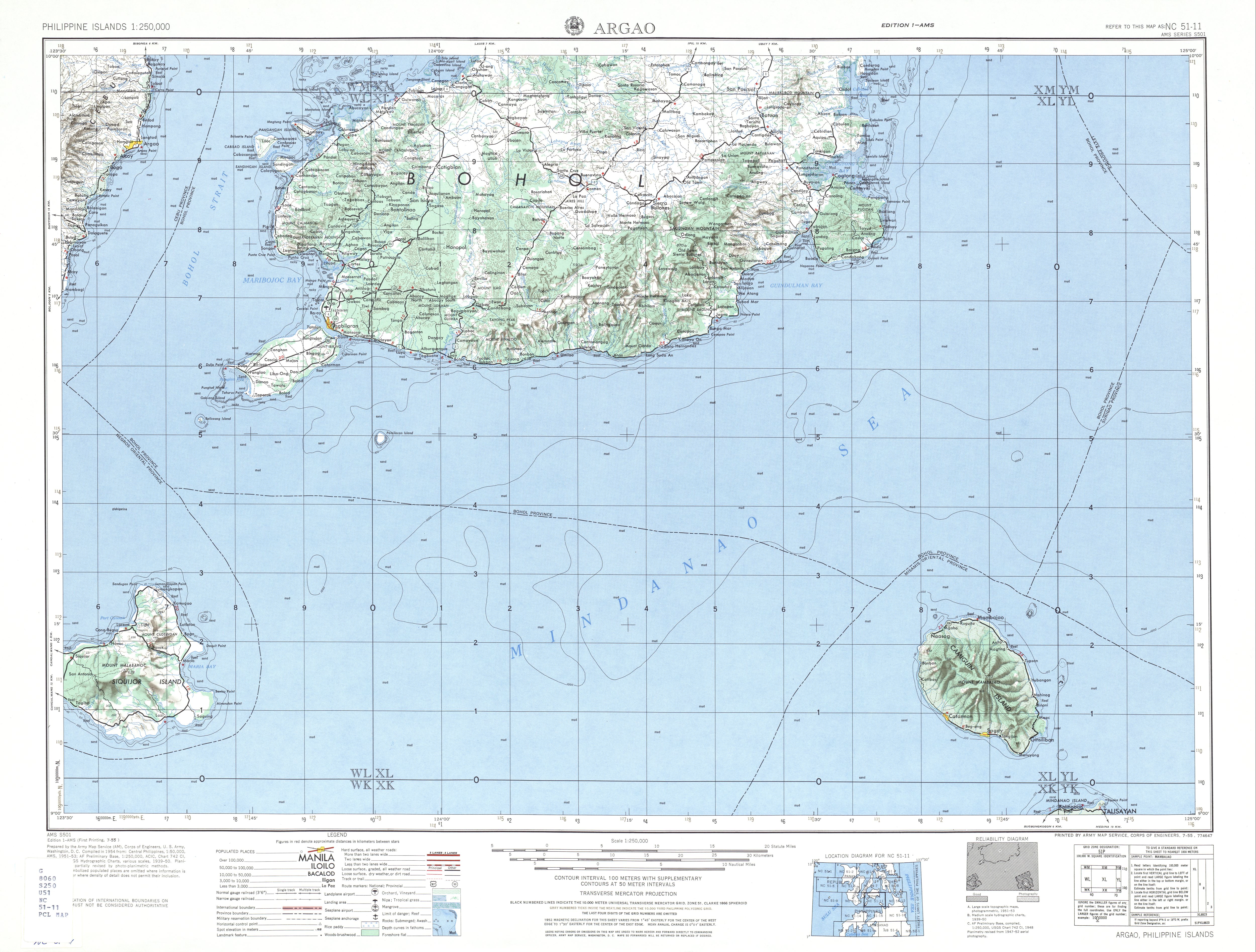
Mount Balatukan is wholly located in Province of Misamis Oriental in the Northern Mindanao region of the Philippines. The coastal road between Balingasag, Misamis Oriental and Gingoog City rims the northern perimeter of the mountain on the north coast of Mindanao.
Physical features
Mount Balatukan is a stratovolcano with a listed elevation of 2,450 meters (8,040 ft) asl (GVP). The Philippine Institute of Volcanology and Seismology (PHIVOLCS).
Satellite imagery shows it to be densely forested peninsula jutting north into the Bohol Sea.[5]
Volcanism
There are no historical eruptions on Mount Balatukan. The age of its last eruption has not been studied, although some lava flows on the sides of the mountain are determined as Pleistocene. Fumarolic activity is present on the mountain, but its form displays extensive erosion.[1]
Balatukan is part of the Central Mindanao Arc of volcanoes. Its northernmost tip called Sipaka Point, which points to the northeast, is a 267 meters (876 ft) cinder cone on a small peninsula called Mount Sipaka.[6]
Listings
The Global Volcanism Program lists the last activity of Balatukan as Holocene but Uncertain.[7]
Philippine Institute of Volcanology and Seismology (Phivolcs) lists Balatukan as Inactive, even though the volcano displays fumarolic activity.[8]
See also
- List of active volcanoes in the Philippines
- List of inactive volcanoes in the Philippines
- List of potentially active volcanoes in the Philippines
- List of protected areas of the Philippines
- Pacific ring of fire
References
- 1 2 3 4 "Balatukan". Global Volcanism Program. Smithsonian Institution.
- ↑ "The highest mountains in the Philippines". Pinoy Mountaineer. 2008-02-02. Retrieved 2008-10-29.
- ↑ "Balatukan, Gingoog, Northern Mindanao, Philippines". Google Maps. Retrieved on 2013-11-15.
- ↑
- "Protected Areas in Region 10". Protected Areas and Wildlife Bureau. Retrieved on 2013-11-22.
- "Proclamation no. 1249". Protected Areas and Wildlife Bureau. Retrieved on 2013-11-22.
- ↑ "Satellite imagery of Balatukan Volcano". Google Maps. Retrieved on 2013-11-21.
- ↑
- U.S. Army Corps of Engineer (1954). "Argao (Topographic Map)". University of Texas in Austin Library. Retrieved on 2013-11-24.
- "Sipaka view from VIlla Arcadia". Panoramio. Retrieved on 2013-11-24.
- ↑ "Volcanoes by name". Global Volcanism Program. Retrieved on 2013-11-15.
- ↑ "Inactive Volcanoes Part 1". Philippines Institute of Volcanology and Seismology (PHIVOLCS). Retrieved on 2013-11-15.