Mouchoir Bank
| Native name: <span class="nickname" ">Banco de Pañuelo Blanco Submerged bank | |
|---|---|
 Mouchoir Bank Location with the Caribbean | |
| Geography | |
| Location | Caribbean |
| Coordinates | 20°57′00″N 70°42′00″W / 20.95000°N 70.70000°WCoordinates: 20°57′00″N 70°42′00″W / 20.95000°N 70.70000°W |
| Area | 960 km2 (370 sq mi) |
| Administration | |
| Additional information | |
| Time zone | |
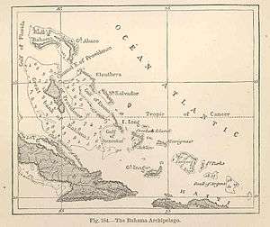
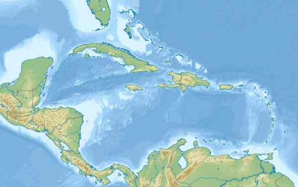
Mouchoir Bank, in Spanish also called Banco de Pañuelo Blanco, is a submerged bank that is part of the Turks and Caicos Islands and falls within its EEZ. It is located southeast of the Turks islands and is geographically a continuation of the Bahamas.
Geography
Much of the north side of the bank is awash in two groupings of coral reef. A 1.8 m deep rock lies between the two groupings. There are numerous shallow patches on the bank which break. North East Breaker is a dangerous rock in the northeast.
Mouchoir Passage, which separates Mouchoir Bank from the Turks Islands, is about 26 kilometres (16 mi) wide and very deep. It covers an area of 960 km².[1] Silver Bank Passage separates Mouchoir Bank from Silver Bank further southeast, which belongs to the Dominican Republic.