Moscow, Kansas
| Moscow, Kansas | |
|---|---|
| City | |
|
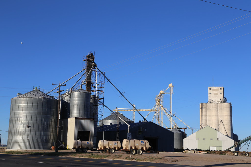
Moscow (2007) | |
 Location within Stevens County and Kansas | |
 KDOT map of Stevens County (legend) | |
| Coordinates: 37°19′25″N 101°12′21″W / 37.32361°N 101.20583°WCoordinates: 37°19′25″N 101°12′21″W / 37.32361°N 101.20583°W[1] | |
| Country | United States |
| State | Kansas |
| County | Stevens |
| Area[2] | |
| • Total | 0.18 sq mi (0.47 km2) |
| • Land | 0.18 sq mi (0.47 km2) |
| • Water | 0 sq mi (0 km2) |
| Elevation[1] | 3,051 ft (930 m) |
| Population (2010)[3] | |
| • Total | 310 |
| • Estimate (2015)[4] | 319 |
| • Density | 1,700/sq mi (660/km2) |
| Time zone | Central (CST) (UTC-6) |
| • Summer (DST) | CDT (UTC-5) |
| ZIP code | 67952 |
| Area code | 620 |
| FIPS code | 20-48600 [1][5] |
| GNIS feature ID | 0470580 [1] |

Moscow /ˈmɒskoʊ/ is a city in Stevens County, Kansas, United States.[1] As of the 2010 census, the city population was 310.[6]
History
The settlement of Moscow was established in 1887.[7]
One tradition says, the community was named for a member of de Soto's expedition, the maestro de campo (field commander) Luis de Moscoso (the source mistakenly indicates Francisco Coronado southwest expedition, but at this time Moscoso was a member of de Soto's expedition, furthermore he took command of the expedition after de Soto's death). During the settlement name registration there were a series of mistakes. The residents, in their application for a post office, had shortened it to Mosco. A postal clerk in Washington, upon receipt of their petition, being in a helpful spirit, and thinking the hay-seeds in the west didn't know their spelling, added a "w" to the name, changing it to Moscow.[8]
The first post office in Moscow was established on April 28, 1888, when it was moved from Valparaiso (now ghost town), which was located approximately 4 miles (6.4 km) southeast of Moscow.[9]
Moscow moved 8 miles to the north in 1913, where in 1912 the CVR railroad was built, so it was also called New Moscow.[7]
For the first time in the US Census the placename “Moscow” in Stevens County appeared in 1890, though not as a city but as a township.[6] The Census separated city of Moscow in 1930.
Geography
Moscow is located at 37°19′25″N 101°12′21″W / 37.32361°N 101.20583°W (37.3236349, -101.2057164).[1] According to the United States Census Bureau, the city has a total area of 0.18 square miles (0.47 km2), all of it land.[2]
The town is located in southwest Kansas in the Rolling Cropland and Range region of the Great Plains.[10] The town is in the shape of a right triangle.
The northwest border of the Moscow adjoins U.S. Route 56. The city part of the Route 56 is named Cimarron Avenue, named after the Cimarron River, which is located 7 miles (11 km) north of Moscow.
Demographics
| Historical population | |||
|---|---|---|---|
| Census | Pop. | %± | |
| 1930 | 249 | — | |
| 1940 | 177 | −28.9% | |
| 1950 | 222 | 25.4% | |
| 1960 | 211 | −5.0% | |
| 1970 | 228 | 8.1% | |
| 1980 | 228 | 0.0% | |
| 1990 | 252 | 10.5% | |
| 2000 | 247 | −2.0% | |
| 2010 | 310 | 25.5% | |
| Est. 2015 | 319 | [4] | 2.9% |
| U.S. Decennial Census | |||
2010 census
As of the census[3] of 2010, there were 310 people, 105 households, and 85 families residing in the city. The population density was 1,722.2 inhabitants per square mile (664.9/km2). There were 119 housing units at an average density of 661.1 per square mile (255.3/km2). The racial makeup of the city was 73.2% White, 3.5% Native American, 21.3% from other races, and 1.9% from two or more races. Hispanic or Latino of any race were 38.7% of the population.
There were 105 households of which 45.7% had children under the age of 18 living with them, 68.6% were married couples living together, 8.6% had a female householder with no husband present, 3.8% had a male householder with no wife present, and 19.0% were non-families. 14.3% of all households were made up of individuals and 5.7% had someone living alone who was 65 years of age or older. The average household size was 2.95 and the average family size was 3.31.
The median age in the city was 32.5 years. 31% of residents were under the age of 18; 8.7% were between the ages of 18 and 24; 29% were from 25 to 44; 19.7% were from 45 to 64; and 11.6% were 65 years of age or older. The gender makeup of the city was 46.5% male and 53.5% female.
2000 census
As of the census[5] of 2000, there were 247 people, 96 households, and 67 families residing in the city. The population density was 1,418.7 people per square mile (561.0/km2). There were 111 housing units at an average density of 637.6 per square mile (252.1/km2). The racial makeup of the city was 76.52% White, 1.62% African American, 4.45% Native American, 14.98% from other races, and 2.43% from two or more races. Hispanic or Latino of any race were 34.41% of the population.
There were 96 households out of which 39.6% had children under the age of 18 living with them, 58.3% were married couples living together, 6.3% had a female householder with no husband present, and 30.2% were non-families. 28.1% of all households were made up of individuals and 13.5% had someone living alone who was 65 years of age or older. The average household size was 2.57 and the average family size was 3.18.
In the city the population was spread out with 30.0% under the age of 18, 9.7% from 18 to 24, 28.3% from 25 to 44, 19.4% from 45 to 64, and 12.6% who were 65 years of age or older. The median age was 31 years. For every 100 females there were 94.5 males. For every 100 females age 18 and over, there were 94.4 males.
The median income for a household in the city was $31,136, and the median income for a family was $33,393. Males had a median income of $30,250 versus $28,750 for females. The per capita income for the city was $13,463. About 7.9% of families and 7.7% of the population were below the poverty line, including 6.6% of those under the age of eighteen and none of those sixty five or over.
Education
Primary and secondary education
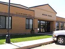
Moscow is part of USD 209 school district,[11] and contains two schools:
The emblem of the High school is the Wildcat, so students are also called Moscow Wildcats.
Infrastructure
Transportation
The northwest border of the Moscow adjoins U.S. Route 56.
The Cimarron Valley Railroad (CVR) parallels Route 56 and crosses the county from northeast to southwest. CVR is one of several short-line railroads operated by The Western Group.[12]
The Brollier Airport is located on east of Moscow. GNIS feature ID 481338.[13]
References
- 1 2 3 4 5 6 Geographic Names Information System (GNIS) details for Moscow, Kansas; United States Geological Survey (USGS); October 13, 1978.
- 1 2 United States Census Bureau. 2015 Census U.S. Gazetteer files. «Places».
- 1 2 "American FactFinder". United States Census Bureau. Retrieved 2012-07-06.
- 1 2 "Annual Estimates of the Resident Population for Incorporated Places: April 1, 2010 to July 1, 2015". Retrieved July 2, 2016.
- 1 2 "American FactFinder". United States Census Bureau. Retrieved 2008-01-31.
- 1 2 US Census. Census of Population and Housing. Records from 1790 to 2010.
- 1 2 “Kansas: A Guide To The Sunflower State.” Federal Writers' Project. Somerset Publishers, Inc., 1939. Page.402.
- ↑ Irina Vasiliev "U.S. Places Called Moscow". Department of Geography, Syracuse University. Based on “The History of Stevens County and Its People 1979”.
- ↑ Kansas Historical Society. Kansas Post Offices, 1828-1961.
- ↑ "Ecoregions of Nebraska and Kansas" (PDF). Environmental Protection Agency. 2001. Retrieved 2011-01-01.
- ↑ Kansas School District Boundary Map
- ↑ Railroad Industry Consortium. Members of The Western Group.
- ↑ Brollier Airport. Geographic Names Information System (GNIS).
External links
| Wikimedia Commons has media related to Moscow, Kansas. |
- City
- Moscow – Directory of Public Officials. League of Kansas Municipalities.
- Maps
- Moscow City Map, KDOT
- Soil Survey of Stevens County, Kansas. United States Department of Agriculture.
- Photos
- Railroad station. Moscow, Kansas, 1981.
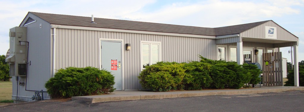
- Post Office (301 E Cimarron St.).
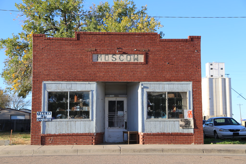
- Store (103-109 Main st.).
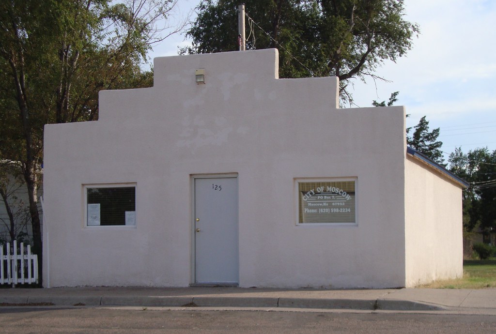
- City Hall (125 Main st.).
- Elevator.
- Water Tower.
Municipalities and communities of Stevens County, Kansas, United States | ||
|---|---|---|
| Cities | 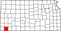 | |
| Ghost town | ||