Morro Branco
| Morro Branco | |
|---|---|
 | |
| Location | Western São Vicente, Cape Verde |
| Coordinates | 16°53′01″N 25°01′33″W / 16.8837°N 25.0259°WCoordinates: 16°53′01″N 25°01′33″W / 16.8837°N 25.0259°W |
| Offshore water bodies |
Porto Grande Bay Atlantic Ocean |
| Elevation | 86 metres (282 ft) |
Morro Branco is a cape located in the northwest of the island of São Vicente. Its elevation is 86 m.[1] The cape stands at the western end of the Porto Grande Bay, 4 km west of the city centre of Mindelo. The neighboring promontory Ponta da Botelha is roughly 1.5 km west.
The Portuguese military barracks once existed southeast, after independence, they became Cape Verdean.
See also
References
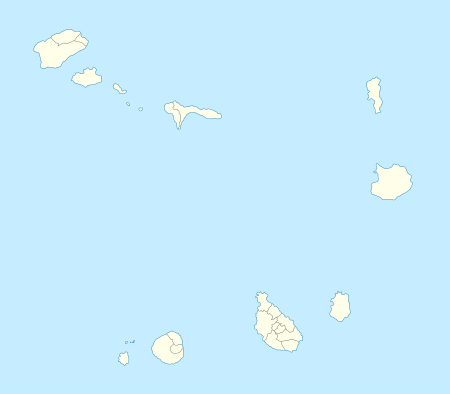
The island of São Vicente and the surrounding islands | ||
|---|---|---|
| Communities and settlements | 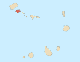 | |
| Parish | ||
| Mountains |
| |
| Streams |
| |
| Surrounding islet | ||
| Other geographical features |
| |
| Culture
| ||
This article is issued from Wikipedia - version of the 12/4/2016. The text is available under the Creative Commons Attribution/Share Alike but additional terms may apply for the media files.