Monzeler Hüttenkopf
| Monzeler Hüttenkopf | |
|---|---|
|
The Monzeler Hüttenkopf seen from nearby Brauneberg. | |
| Highest point | |
| Elevation | 423.4 m above sea level (NN) (1,389 ft) [1] |
| Coordinates | 49°54′28″N 6°56′24″E / 49.9079120443°N 6.93996089768°ECoordinates: 49°54′28″N 6°56′24″E / 49.9079120443°N 6.93996089768°E |
| Geography | |
 Monzeler Hüttenkopf | |
| Parent range | Moselle Hills |

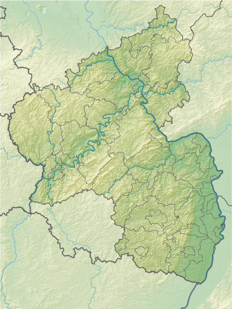
The Monzeler Hüttenkopf, also just Hüttenkopf, at 423.4 m above sea level (NN)[1], is the second highest point of the Moselle Hills. It lies within the municipality of Osann-Monzel in the German county of Bernkastel-Wittlich.
References
- 1 2 Map service of the Landscape Information System of the Rhineland-Palatinate Nature Conservation Office (Naturschutzverwaltung Rheinland-Pfalz)
This article is issued from Wikipedia - version of the 12/8/2015. The text is available under the Creative Commons Attribution/Share Alike but additional terms may apply for the media files.