Monte Zappi
| Monte Zappi | |
|---|---|
 Monte Zappi seen in March after a snowfall. | |
| Highest point | |
| Elevation | 1,276 m (4,186 ft) |
| Coordinates | 43°03′22″N 12°48′31″E / 43.05611°N 12.80861°ECoordinates: 43°03′22″N 12°48′31″E / 43.05611°N 12.80861°E |
| Geography | |
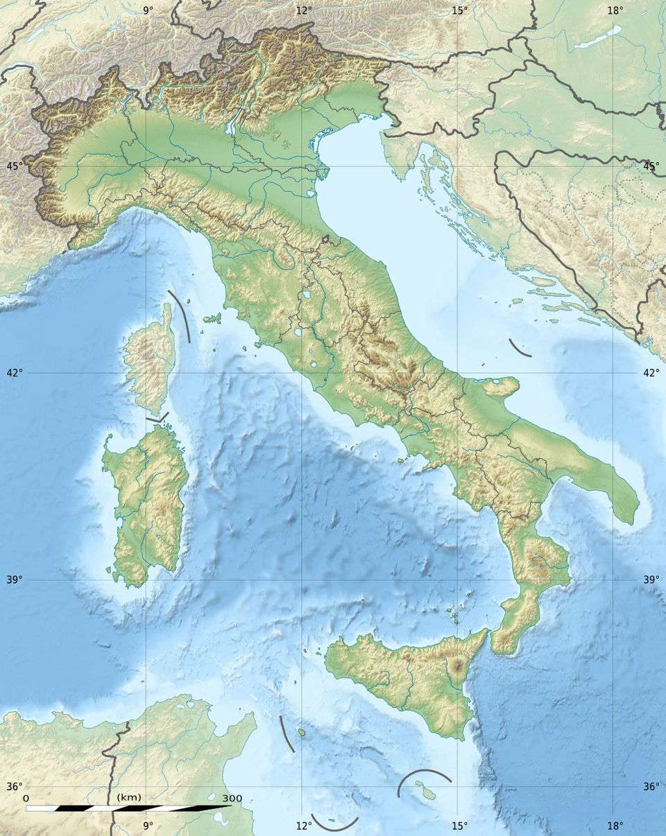 Monte Zappi Location in Italy | |
| Location | Lazio, Italy |
| Parent range | Monti Lucretili |
Monte Zappi (also called Monte Gennaro or Pizzo di Monte Gennaro) is a peak in the Monti Lucretili, in Lazio, central Italy. It has an elevation of 1,271 metres (4,170 ft) and is the highest peak visible from Rome looking westwards. It is located in the province of Rome, in the communal territories of Palombara Sabina and San Polo dei Cavalieri.
History
It is likely identifiable with the Lucretili Mons mentioned by Horace[1] as visible from his Sabine farm, and probably identical with the Mons Lucretius mentioned in the Liber Pontificalis,[2] which speaks of possessio in territorio Sabinensi quae cognominatur ad duas casas sub monte Lucretio in the time of Constantine. The name ad duas casas is supposed to survive in the chapel of the Madonna della Casa near Rocca Giovane, and the Mons Lucretilis is generally (and rightly) identified with Monte Gennaro, a limestone peak 4,160 ft (1,270 m) high, which forms a prominent feature in the view northeast of Rome. Excavations on the supposed site of Horace's farm were begun in September 1909.[3]
References
- ↑ Odes 1.17.1
- ↑ ed. Duchesne, i.183
- ↑ Chisholm 1911.
 This article incorporates text from a publication now in the public domain: Chisholm, Hugh, ed. (1911). "Lucretilis Mons". Encyclopædia Britannica (11th ed.). Cambridge University Press.