Monte Pennino
| Monte Pennino | |
|---|---|
 Monte Pennino | |
| Highest point | |
| Elevation | 1,571 m (5,154 ft) [1] |
| Isolation | 29 km (18 mi) [1] |
| Coordinates | 43°06′N 12°53′E / 43.100°N 12.883°ECoordinates: 43°06′N 12°53′E / 43.100°N 12.883°E [1] |
| Geography | |
| Parent range | Appennino Umbro-Marchigiano |
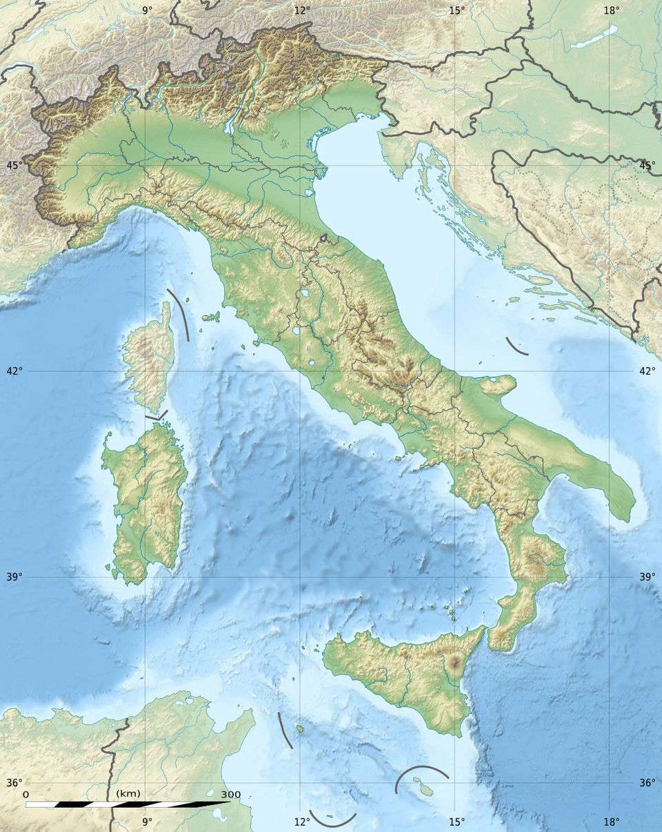
Monte Pennino is a mountain in the Appennino Umbro-Marchigiano range in Italy.[2] The mountain is on the border between the province of Macerata in the Marche region of Italy and the province of Perugia in the Umbria region of Italy.[3] The elevation of the mountain is 1,571 metres (5,154 ft).
References
This article is issued from Wikipedia - version of the 1/22/2016. The text is available under the Creative Commons Attribution/Share Alike but additional terms may apply for the media files.