Monte Mutria
For the Dacian town and Roman castra, see Ad Mutriam.
| Monte Mutria | |
|---|---|
 | |
| Highest point | |
| Elevation | 1,822 m (5,978 ft) |
| Geography | |
 Monte Mutria Location in Italy | |
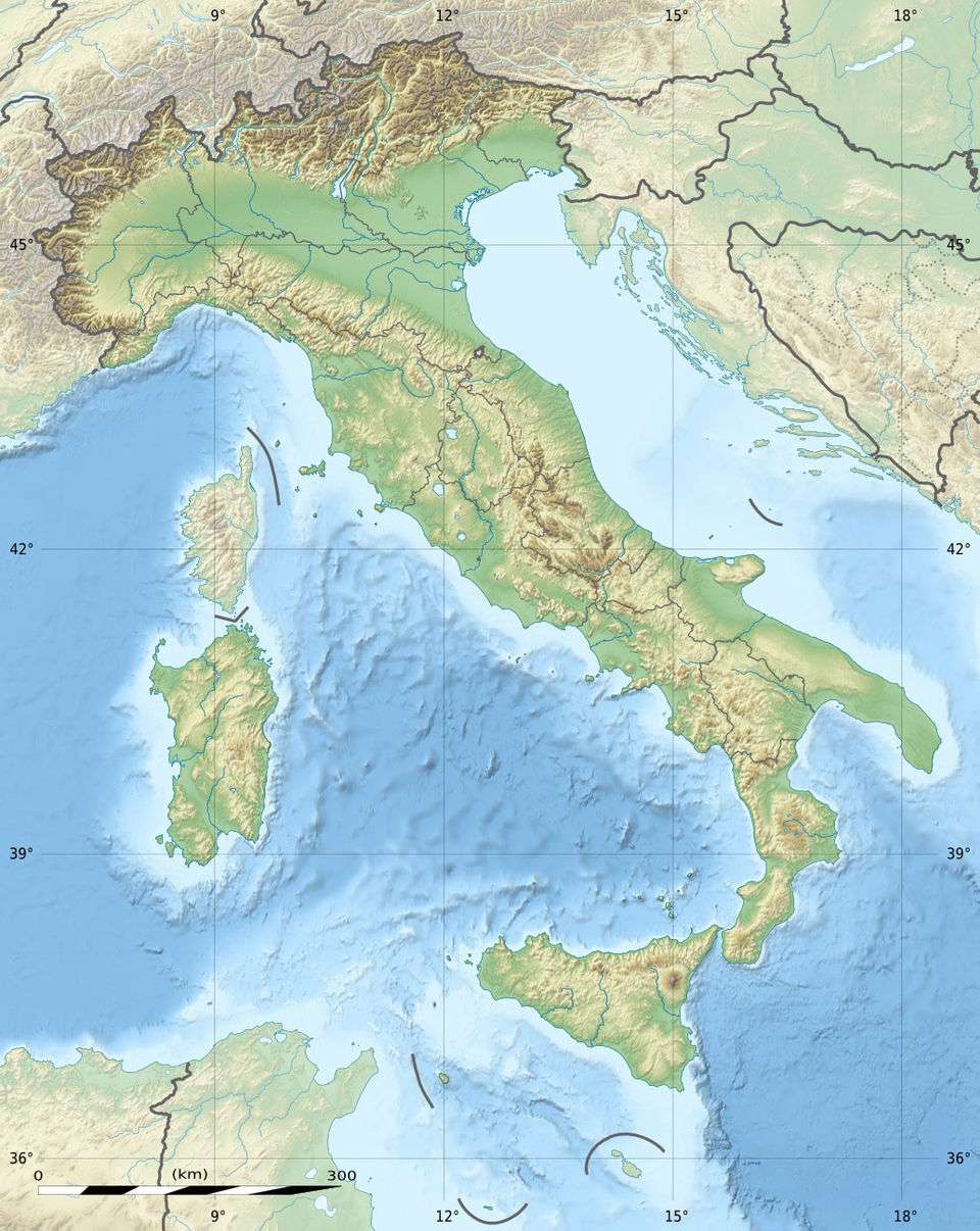
| Location | Molise and Campania, Italy |
| Parent range | Monti del Matese, central-southern Apennines |
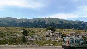
The Monte Mutria is a mountain in the Matese mountain range, part of the central-southern Apennines, southern Italy. Having an altitude of 1,822 m, it is located in the eastern part of the massif, on the boundary between Molise and Campania.
Its peak commands the valleys of the rivers Tammaro easthwards, Calore Irpino southwards, Volturno westwards, and both the Tyrrhennian and the Adriatic Seas are visible from it. In ancient times, it was a sacred place to the Italic tribe of the Samnites.
The Molisan side have wide woods of pines and beeches, while the Campanians side is more rocky, with parts characterized by Karst topography.
Coordinates: 41°23′06″N 14°31′24″E / 41.38500°N 14.52333°E
This article is issued from Wikipedia - version of the 5/12/2016. The text is available under the Creative Commons Attribution/Share Alike but additional terms may apply for the media files.