Mitsinjo District
Not to be confused with Mitsinjo, the Malagasy commune with same name.
| Mitsinjo District | |
|---|---|
| District | |
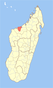 Location in Madagascar | |
| Coordinates: 16°12′S 45°47′E / 16.200°S 45.783°E | |
| Country |
|
| Region | Boeny |
| Area[1] | |
| • Total | 5,894 km2 (2,276 sq mi) |
| Population (2001) | |
| • Total | 53,405 |
| • Density | 9.1/km2 (24/sq mi) |
| • Ethnicities | Sakalava |
| Time zone | EAT (UTC3) |
Mitsinjo is a district in western Madagascar. It is a part of Boeny Region and borders the districts of Marovoay in east, Ambato-Boeni in south and Soalala in west. The area is 5,894 km2 (2,276 sq mi) and the population was estimated to be 53,405 in 2001.[1]
The district is further divided into seven communes:
References and notes
- 1 2 "Madagascar Administrative units". GeoHive. Retrieved 2008-03-03.
Coordinates: 16°12′S 45°57′E / 16.200°S 45.950°E

This article is issued from Wikipedia - version of the 4/22/2015. The text is available under the Creative Commons Attribution/Share Alike but additional terms may apply for the media files.