Mission River (Queensland)
This article is about the river in Queensland, Australia. For other uses, see Mission River.
| Mission | |
| River | |
| Country | Australia |
|---|---|
| State | Queensland |
| Region | Far North Queensland |
| Source confluence | Myall Creek and an unnamed creek |
| - elevation | 21 m (69 ft) |
| - coordinates | 12°34′09″S 142°12′31″E / 12.56917°S 142.20861°E |
| Mouth | Albatross Bay, Gulf of Carpentaria |
| - location | Weipa |
| - elevation | 1 m (3 ft) |
| - coordinates | 12°35′14″S 141°57′54″E / 12.58722°S 141.96500°ECoordinates: 12°35′14″S 141°57′54″E / 12.58722°S 141.96500°E |
| Length | 37 km (23 mi) |
| Basin | 2,697 km2 (1,041 sq mi) |
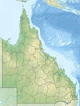 Location of Mission River mouth in Queensland | |
| [1] | |
The Mission River is a river located in Far North Queensland, Australia.
The river is formed by the confluence of Myall Creek and another minor creek. The river flows in a westerly direction an eventually discharges into Albatross Bay near Oxmurra Point and the town of Weipa.[2] The waters then flow into the Gulf of Carpentaria. The river descends 19 metres (62 ft) over its 37-kilometre (23 mi) course.[1]
The river has a catchment area of 2,697 square kilometres (1,041 sq mi) of which an area of 247 square kilometres (95 sq mi) is composed of estuarine wetlands.[3]
See also
References
- 1 2 "Map of Mission River, QLD". Bonzle Digital Atlas of Australia. Retrieved 29 July 2015.
- ↑ "Weipa". Queensland Places. Retrieved 29 July 2015.
- ↑ "Mission River drainage basin". WetlandInfo. Queensland Government. Retrieved 29 July 2015.
Rivers of Queensland | |||||||||||||||||||||||||
|---|---|---|---|---|---|---|---|---|---|---|---|---|---|---|---|---|---|---|---|---|---|---|---|---|---|
| |||||||||||||||||||||||||
| |||||||||||||||||||||||||
| |||||||||||||||||||||||||
| |||||||||||||||||||||||||
| |||||||||||||||||||||||||
| |||||||||||||||||||||||||
This article is issued from Wikipedia - version of the 7/27/2016. The text is available under the Creative Commons Attribution/Share Alike but additional terms may apply for the media files.