Mirzwas
| Mirzwas Hindi: मिर्जवास Rajasthani: मिर्जवास | |
|---|---|
| Village | |
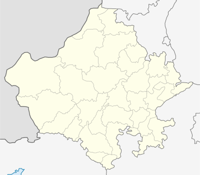
 Mirzwas  Mirzwas Location in Rajasthan, India | |
| Coordinates: 27°53′10″N 75°10′43″E / 27.886141°N 75.178691°ECoordinates: 27°53′10″N 75°10′43″E / 27.886141°N 75.178691°E | |
| Country |
|
| State | Rajasthan |
| District | Sikar |
| Languages | |
| • Official | Hindi |
| Time zone | IST (UTC+5:30) |
| PIN | 332401[1] |
| Telephone code | 91-1573 |
| Vehicle registration | RJ-23 |
| Distance from Nawalgarh, Rajasthan | 11 kilometres (6.8 mi) NW (land) |
| Distance from Laxmangarh | 18 kilometres (11 mi) SE (land) |
| Distance from Sikar | 41 kilometres (25 mi) (land) |
| Avg. summer temperature | 46 °C (115 °F) |
| Avg. winter temperature | 1 °C (34 °F) |
Mirzwas, is a village in the Laxmangarh administrative region of the Sikar district of Rajasthan state in India. The village lies 18 kilometres (11 mi) east of Laxmangarh and 11 kilometres (6.8 mi) from Nawalgarh. The borders villages including Bidsar, Bidasar, Kheri Radan, Dundlod, and Sankhu .
History
Pre-Indian Independence
Before independence, the village was inhabited by Jats. The village was dominated by Jats.
Village government
Mirzwas falls under Madhopura Panchayat. The title of leader is Sarpanch, The panchayat has chosen ward members by the people through polling.
References
External links
- Details of Sarpanch in Sikar
- List of all villages of Rajasthan with their Panchayat Samiti
- Sikar District Official Web Page
This article is issued from Wikipedia - version of the 9/2/2016. The text is available under the Creative Commons Attribution/Share Alike but additional terms may apply for the media files.