Miners Rest, Victoria
| Miners Rest Ballarat, Victoria | |||||||||||||
|---|---|---|---|---|---|---|---|---|---|---|---|---|---|
 Miners Rest | |||||||||||||
| Coordinates | 37°29′10″S 143°45′25″E / 37.486°S 143.757°ECoordinates: 37°29′10″S 143°45′25″E / 37.486°S 143.757°E | ||||||||||||
| Population | 2,542 (2011 census)[1] | ||||||||||||
| Postcode(s) | 3352 | ||||||||||||
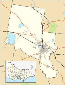
| Location | 4 km (2 mi) from Ballarat Central | ||||||||||||
| LGA(s) | City of Ballarat | ||||||||||||
| State electorate(s) | Wendouree | ||||||||||||
| Federal Division(s) | Ballarat | ||||||||||||
| |||||||||||||
Miners Rest is a suburb of Ballarat, Victoria, Australia on the north-western rural-urban fringe of the city, 4 kilometres (2.5 mi) west of the Central Business District. The population at the 2011 census was 2542.[1]
Miners Rest is a semi-rural suburb with a very small township and commercial area. It is located to the North of the Western Freeway.
History
The original Township of Miners Rest, surveyed in 1854, is located at the northern end of the district.
Education
The local primary school is Miners Rest Primary School.
References
- 1 2 Australian Bureau of Statistics (31 October 2012). "Miners Rest (State Suburb)". 2011 Census QuickStats. Retrieved 30 May 2016.
|
This article is issued from Wikipedia - version of the 5/30/2016. The text is available under the Creative Commons Attribution/Share Alike but additional terms may apply for the media files.