Miller Mountain (Nevada)
| Miller Mountain | |
|---|---|
| Highest point | |
| Elevation | 8,736 ft (2,663 m) NAVD 88[1] |
| Prominence | 2,449 ft (746 m) [2] |
| Listing | Ultra prominent peak |
| Coordinates | 38°03′55″N 118°11′29″W / 38.065144831°N 118.191432017°WCoordinates: 38°03′55″N 118°11′29″W / 38.065144831°N 118.191432017°W [1] |
| Geography | |
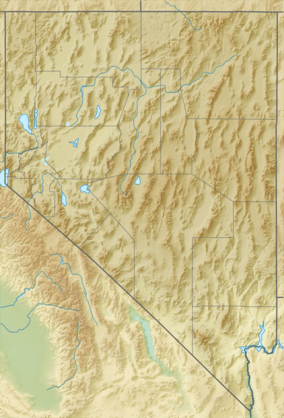
| Location | Mineral County, Nevada, U.S. |
| Parent range | Candelaria Hills |
| Topo map | USGS Miller Mountain |
Miller Mountain is located in the Candelaria Hills of Mineral County, Nevada.[3] "Borax" Smith's board-and-batten cabin where he lived when he discovered a rich borax deposit at nearby Teel's Marsh was located here.[4]
References
- 1 2 "Miller Mtn". NGS data sheet. U.S. National Geodetic Survey. Retrieved 2016-04-06.
- ↑ "Miller Mountain, Nevada". Peakbagger.com. Retrieved 2016-04-06.
- ↑ "Candelaria Hills". Geographic Names Information System. United States Geological Survey. Retrieved 2016-04-06.
- ↑ Hildebrand, GH. (1982) Borax Pioneer: Francis Marion Smith. San Diego: Howell-North Books. p 17 ISBN 0-8310-7148-6
This article is issued from Wikipedia - version of the 4/6/2016. The text is available under the Creative Commons Attribution/Share Alike but additional terms may apply for the media files.