Middlebury State Airport
| Middlebury State Airport | |||||||||||
|---|---|---|---|---|---|---|---|---|---|---|---|
| IATA: none – ICAO: none – FAA LID: 6B0 | |||||||||||
| Summary | |||||||||||
| Airport type | Public | ||||||||||
| Owner | State of Vermont | ||||||||||
| Serves | Middlebury, Vermont | ||||||||||
| Elevation AMSL | 490 ft / 149 m | ||||||||||
| Coordinates | 43°59′05.218″N 073°05′45.416″W / 43.98478278°N 73.09594889°W | ||||||||||
| Website | VTrans Aviation Program: Middlebury (6B0) | ||||||||||
| Map | |||||||||||
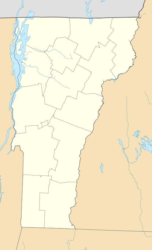 6B0  6B0 Location of airport in Vermont/United States | |||||||||||
| Runways | |||||||||||
| |||||||||||
| Statistics (2008) | |||||||||||
| |||||||||||
Middlebury State Airport is a public use airport in Addison County, Vermont, United States. It is owned by the State of Vermont and is located three nautical miles (5.56 km) southeast of the central business district of the Town of Middlebury.[2]
Although most U.S. airports use the same three-letter location identifier for the FAA and IATA, this airport is assigned 6B0 by the FAA[2] but has no designation from the IATA[3]
Facilities and aircraft
Middlebury State Airport covers an area of 156 acres (63 ha) at an elevation of 490 feet (149 m) above mean sea level. It has one runway designated 01/19 with an asphalt surface measuring 2,500 by 50 feet (762 x 15 m).[2] Runway 1-19 is oriented in a north-south direction and has visual approaches.[4] The runway is unlit and lacks a Automated Airport Weather Station (AWOS/ASOS). It has a weight bearing capacity 12,000 lbs. per single wheel.
The aircraft parking aprons at the facility are approximately 87,000 ft2[4] and encompass approximately 170,000 ft2 of area.[5] The principal apron is located northwest of Runway 19 and has the capacity to hold 42 aircraft. The secondary apron is located in front of the terminal building and has the capacity for 10 aircraft. A small fueling apron is located between the two parking aprons. Aircraft tie-down spaces are leased by the facility's FBO from the State of Vermont.
For the 12-month period ending May 30, 2008, the airport had 16,451 aircraft operations, an average of 45 per day: 91% general aviation, 5% military, 4% air taxi and a few ultralights. At that time there were 48 aircraft based at this airport: 77% single-engine, 10% multi-engine, 4% jet, 4% helicopter, 2% glider and 2% ultralights.[2]
History
The original airport facility was developed by the Quesnel Family in the 1950s in support of their aerial pesticide application business. In 1966, the Town of Middlebury purchased the facility. In 1970, it was acquired by State of Vermont Aeronautics Board and formally named "Middlebury State Airport".[1]
Improvements
In 1976 the Army National Guard constructed a gravel taxiway parallel to the runway. In 1990, a tie-down apron was constructed. In 1993, an aviation fueling system was installed. In 2000, Runway 1-19 was reconstructed and repaved. In 2003, a terminal building and hangar were constructed.[1]
In 2009, the FAA approved a Finding of No Significant Impact to increase the runway width by 10 ft., and the length by 700 ft. (i.e. the runway would expand to 3,206 ft. length x 60 ft. width).[1] This expansion would make it possible for the airport to accommodate small jets.[6] The State of Vermont 2007 Airport System & Policy Plan calls for ‘Local Service Airports’ (such as the Middlebury Airport) to increase their runways to 4,000 ft. length x 75 ft. width, pending appropriate land acquisitions and completion of environmental review and permitting.[7]
As of 2015, residents living near the airport in East Middlebury have called for a halt on the State's plan to expand the facility citing noise, environmental, and economic concerns.[8][9] On June 9, 2015, the Town of Middlebury Selectboard voted in favor of the project (5 to 2).[10] The proposed $3.5m project would entail acquiring the avigation easements from property owners abutting the southern approach of the runway (for tree removal, which addresses current visibility concerns for pilots), reconstructing and extending the taxiway in 2017, and extending the runway by 700 ft. at the northern terminus in 2018.
References
- 1 2 3 4 Final Environmental Assessment & Finding of No Significant Impact ~ Runway Extension & Related Improvements (3-50-0011-04) – Middlebury State Airport Prepared for the Vermont Agency of Transportation & the Federal Aviation Administration. Prepared by URS Corporation, Hunt Valley, MD & Clifton Park, NY, July 2009, p. I-2.
- 1 2 3 4 5 FAA Airport Master Record for 6B0 (Form 5010 PDF), effective 2009-08-27.
- ↑ "6B0 - Middlebury, Vermont - Middlebury State Airport". Great Circle Mapper. Retrieved 2009-09-12.
- 1 2 Final Summary Report: Runway 1-19 Extension Analysis at Middlebury State Airport URS Corporation, Roxbury, VT, April 2008
- ↑ Middlebury State Airport Business Plan McFarland-Johnson, Inc., in association with R.A. Wiedemann & Associates, Inc. , September 2008, p. 15.
- ↑ Addison County RPC - Aviation page Addison County Regional Planning Commission website (accessed Aug 2015)
- ↑ Vermont Airport System & Policy Plan Prepared for the Vermont Agency of Transportation. Prepared by Wilbur Smith Associates, Inc., February 2007, p. 7-10.
- ↑ Flowers, John (May 22, 2015). "Neighbors pan Middlebury airport expansion proposal". Addison County Independent.
- ↑ Mansfield, Erin (May 26, 2015). "Middlebury Residents Fight the State on $3 million Airport Expansion". VTDigger.org.
- ↑ The Town of Middlebury Selectboard Minutes, June 9, 2015. townofmiddlebury.org
External links
- VTrans - Aviation Program Middlebury (6B0) Technical & Planning Information
- Live Flight Tracking via FlightAware
- Aerial photo as of May 1993 from USGS The National Map
- Resources for this airport:
- FAA airport information for 6B0
- AirNav airport information for 6B0
- FlightAware airport information and live flight tracker
- SkyVector aeronautical chart for 6B0