Middle Musquodoboit, Nova Scotia
| Middle Musquodoboit | |
|---|---|
| Rural Community | |
|
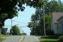
Route 357 in Middle Musquodoboit | |
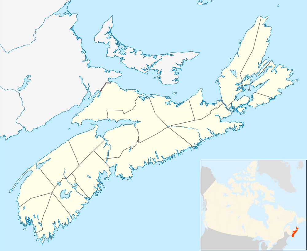 Middle Musquodoboit Location within Nova Scotia | |
| Coordinates: 45°02′35″N 63°09′06″W / 45.04306°N 63.15167°WCoordinates: 45°02′35″N 63°09′06″W / 45.04306°N 63.15167°W | |
| Country |
|
| Province |
|
| Municipality | Halifax Regional Municipality |
| Government | |
| • Governing Council | Halifax Regional Council |
| • Community Council | Marine Drive Valley & Canal |
| Area | |
| • Total | 129.9 km2 (50.2 sq mi) |
| Population (2001) | |
| • Total | 669 |
| Canadian Postal code | B0N 1X0 |
| Area code(s) | 902 |
| Telephone exchange | 384 |
| GNBC Code | CAZEY |
| Total Dwellings | 260 |
| Highways |
|
| Part of a series about Places in Nova Scotia | |
Middle Musquodoboit is a farming community in the Musquodoboit Valley region of the Halifax Regional Municipality, along the Musquodoboit River at the junction of Route 357 with Route 224, 78.0 km from Dartmouth, Nova Scotia. The community's name comes from the First Nations' word Mooskoduboogwek, which means to suddenly wide out after a narrow entrance at its mouth.[1] For an unspecified amount of time after 1883, Middle Musquodoboit was called Laytonville.[1]
Amenities
There are numerous farms in the Middle Musquodoboit area. It, along with Upper Musquodoboit, are the major communities in the valley, being the two largest communities. Middle Musquodoboit has a Co-op store,[2] a bakery/restaurant, a fire station,[3] a police station,[4] a natural resources station,[5] a post office,[6] and an RBC bank.[7] The annual Halifax County Exhibition is held each August in the community. There is a park along the Musquodoboit River 5 minutes outside Middle Musquodoboit, towards Upper Musquodoboit.[8] Musquodoboit Valley Memorial Hospital (MVMH) is the only hospital in the Musquodoboit Valley. The facility is located on the opposite side of the Musquodoboit River. It is connected to Braeside Nursing Home, which adjacent to the hospital.[9][10]
Middle Musquodoboit boasts two schools: Musquodoboit Rural High School (MRHS) and Musquodoboit Valley Education Centre (MVEC).
MRHS is the only high school in the Musquodoboit Valley. It has two feeder schools, Musquodoboit Valley Education Centre and Upper Musquodoboit Consolidated School, located in Upper Musquodoboit. The school teaches grades seven through twelve. The school offers Intensive French. The school was constructed in 2008. In 2014, there were 262 students enrolled in the school.[11] Musquodoboit Valley Education Centre (MVEC) is a feeder school of MRHS. The school teaches grades primary through six. The school was constructed in 2001. In 2014, there were 133 students enrolled in the school.[12]
Transportation
Middle Musquodoboit is located at the junction of Route 357 with Route 224. The roads in the area are a mix of both paved and unpaved roads.
Climate
| Climate data for Middle Musquodoboit, 1981–2010 normals, extremes 1961–present | |||||||||||||
|---|---|---|---|---|---|---|---|---|---|---|---|---|---|
| Month | Jan | Feb | Mar | Apr | May | Jun | Jul | Aug | Sep | Oct | Nov | Dec | Year |
| Record high °C (°F) | 16.5 (61.7) |
17.0 (62.6) |
28.0 (82.4) |
30.5 (86.9) |
33.3 (91.9) |
33.9 (93) |
34.5 (94.1) |
35.6 (96.1) |
33.0 (91.4) |
26.7 (80.1) |
23.5 (74.3) |
16.0 (60.8) |
35.6 (96.1) |
| Average high °C (°F) | −0.9 (30.4) |
0.2 (32.4) |
3.9 (39) |
9.6 (49.3) |
16.1 (61) |
21.3 (70.3) |
24.7 (76.5) |
24.6 (76.3) |
20.3 (68.5) |
14.0 (57.2) |
7.8 (46) |
2.2 (36) |
12.0 (53.6) |
| Daily mean °C (°F) | −6.2 (20.8) |
−5.2 (22.6) |
−1.3 (29.7) |
4.4 (39.9) |
9.9 (49.8) |
14.8 (58.6) |
18.5 (65.3) |
18.4 (65.1) |
14.2 (57.6) |
8.5 (47.3) |
3.5 (38.3) |
−2.4 (27.7) |
6.4 (43.5) |
| Average low °C (°F) | −11.4 (11.5) |
−10.6 (12.9) |
−6.4 (20.5) |
−0.9 (30.4) |
3.7 (38.7) |
8.3 (46.9) |
12.2 (54) |
12.2 (54) |
7.9 (46.2) |
2.9 (37.2) |
−1.0 (30.2) |
−7.1 (19.2) |
0.8 (33.4) |
| Record low °C (°F) | −34.0 (−29.2) |
−33.0 (−27.4) |
−31.0 (−23.8) |
−15.0 (5) |
−7.8 (18) |
−3.0 (26.6) |
1.1 (34) |
−1.5 (29.3) |
−4.5 (23.9) |
−10.6 (12.9) |
−21.0 (−5.8) |
−34.0 (−29.2) |
−34.0 (−29.2) |
| Average precipitation mm (inches) | 129.8 (5.11) |
100.5 (3.957) |
124.2 (4.89) |
109.0 (4.291) |
105.4 (4.15) |
99.8 (3.929) |
103.8 (4.087) |
91.9 (3.618) |
110.7 (4.358) |
116.7 (4.594) |
136.8 (5.386) |
129.1 (5.083) |
1,357.6 (53.449) |
| Average rainfall mm (inches) | 80.4 (3.165) |
62.1 (2.445) |
92.8 (3.654) |
99.5 (3.917) |
104.9 (4.13) |
99.8 (3.929) |
103.8 (4.087) |
91.9 (3.618) |
110.7 (4.358) |
116.7 (4.594) |
128.6 (5.063) |
97.2 (3.827) |
1,188.3 (46.783) |
| Average snowfall cm (inches) | 49.4 (19.45) |
41.3 (16.26) |
31.4 (12.36) |
9.5 (3.74) |
0.5 (0.2) |
0.0 (0) |
0.0 (0) |
0.0 (0) |
0.0 (0) |
0.0 (0) |
8.2 (3.23) |
31.9 (12.56) |
172.2 (67.8) |
| Average precipitation days (≥ 0.2 mm) | 14.8 | 12.1 | 13.7 | 15.0 | 14.9 | 14.0 | 12.7 | 12.7 | 12.3 | 14.7 | 15.8 | 14.5 | 167.1 |
| Average rainy days (≥ 0.2 mm) | 7.5 | 6.0 | 9.4 | 14.0 | 14.8 | 14.0 | 12.7 | 12.7 | 12.3 | 14.7 | 14.8 | 10.1 | 143.1 |
| Average snowy days (≥ 0.2 cm) | 9.0 | 7.5 | 5.4 | 1.8 | 0.08 | 0.0 | 0.0 | 0.0 | 0.0 | 0.0 | 1.9 | 6.2 | 31.8 |
| Source: Environment Canada[13][14][15][16] | |||||||||||||
 |
Centre Musquodoboit, Nova Scotia Upper Musquodoboit, Nova Scotia Via To |
| ||
| Chaswood, Nova Scotia Shubenacadie Valley Via |
|
Higginsville, Nova Scotia Via Higginsville Rd. | ||
| ||||
| | ||||
| South Section, Nova Scotia Musquodoboit Harbour, Nova Scotia Via |
Notable residents
- Québec-based writer and artist Simon Brown.
References
- 1 2 Scott, David. Nova Scotia Place Names, p. 162. ISBN 978-0-9865370-1-1
- ↑ "Community Directory". musquodoboitvalleyguide.ca. Retrieved 13 November 2015.
- ↑ "Fire Stations". Halifax Regional Municipality. Retrieved 13 November 2015.
- ↑ "About Halifax District RCMP". Royal Canadian Mounted Police. Retrieved 23 October 2015.
- ↑ "NREC - Our Facilities". Nova Scotia Government. Retrieved 23 October 2015.
- ↑ "CanadaPost - Post Office: MIDDLE MUSQUODOBOIT PO, Nova Scotia (mail, package delivery, courier) - Location & Hours". mystore411.com. Retrieved 13 November 2015.
- ↑ "RBC Branch and ATM Locator". Royal Bank of Canada. Retrieved 13 November 2015.
- ↑ "Musquodoboit Valley Provincial Park". Nova Scotia Government. Retrieved 13 November 2015.
- ↑ "Musquodoboit Valley Memorial Hospital". Nova Scotia Health Authority. Retrieved 23 October 2015.
- ↑ "Braeside Nursing Home". 411.ca. Retrieved 13 November 2015.
- ↑ "Musquodoboit Rural High". Halifax Regional School Board. Retrieved 13 November 2015.
- ↑ "Musquodoboit Valley Education Centre". Halifax Regional School Board. Retrieved 13 November 2015.
- ↑ "Middle Musquodoboit, Nova Scotia". Canadian Climate Normals 1981–2010. Environment Canada. Retrieved 12 May 2015.
- ↑ "Daily Data Report for December 2008". Canadian Climate Data. Environment Canada. Retrieved 3 October 2016.
- ↑ "Daily Data Report for April 2009". Canadian Climate Data. Environment Canada. Retrieved 3 October 2016.
- ↑ "Daily Data Report for March 2012". Canadian Climate Data. Environment Canada. Retrieved 3 October 2016.