Merinos
| Merinos | |
|---|---|
| Village | |
 Merinos Location in Uruguay | |
| Coordinates: 32°23′0″S 56°54′0″W / 32.38333°S 56.90000°WCoordinates: 32°23′0″S 56°54′0″W / 32.38333°S 56.90000°W | |
| Country |
|
| Department | Paysandú Department |
| Population (2011) | |
| • Total | 528 |
| Time zone | UTC -3 |
| Postal code | 60009 |
| Dial plan | +598 4742 (+4 digits) |
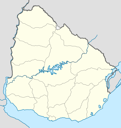
Merinos is a village in the south of Paysandú Department of western Uruguay.
Location
It is located on Route 90, about 33 kilometres (21 mi) east of Guichón or 118 kilometres (73 mi) east of the department capital city Paysandú. The railroad track joining Paysandú with Paso de los Toros passes through the village.
History
Its status was elevated to "Pueblo" (village) by the Act of Ley Nº 16.232 on 19 November 1991.[1]
Population
In 2011 Merinos had a population of 528.[2]
| Year | Population |
|---|---|
| 1963 | 559 |
| 1975 | 405 |
| 1985 | 435 |
| 1996 | 483 |
| 2004 | 556 |
| 2011 | 528 |
Source: Instituto Nacional de Estadística de Uruguay[3]
References
- ↑ "Ley Nº 16.232". República Oriental del Uruguay, Poder Legislativo. 1991. Retrieved 4 September 2012.
- ↑ "Censos 2011 Paysandú (needs flash plugin)". INE. 2012. Retrieved 31 August 2012.
- ↑ "Statistics of urban localities (1963–2004)" (PDF). INE. 2012. Retrieved 4 September 2012.
External links
Capital: Paysandú | ||
| Towns and villages | 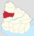 | |
| Sights | ||
This article is issued from Wikipedia - version of the 5/13/2013. The text is available under the Creative Commons Attribution/Share Alike but additional terms may apply for the media files.