Mentolat
| Mentolat | |
|---|---|
 Mentolat | |
| Highest point | |
| Elevation | 1,620 m (5,310 ft) [1][2] |
| Prominence | 1,620 m (5,310 ft) [1] |
| Listing | Ultra |
| Coordinates | 44°41′48″S 73°04′33″W / 44.69667°S 73.07583°WCoordinates: 44°41′48″S 73°04′33″W / 44.69667°S 73.07583°W [1] |
| Geography | |
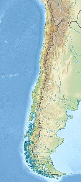
| Location | Chile |
| Parent range | Andes |
| Geology | |
| Mountain type | Stratovolcano |
| Last eruption | 1710 ± 5 years |
Mentolat is an ice-filled 6 km (4 mi) wide caldera in the central portion of Magdalena Island, Aisén Province, Chilean Patagonia. It forms part of the Isla Magdalena National Park. Little is known of the eruptive history of Mentolat, but it is thought to be young, with a possible eruption in the early 18th century. On the infrequent occasions when the clouds clear, Mentolat overlooks the port town of Puerto Cisnes. Mentolat has an elevation of 1,620 metres above sea level.[1]
See also
References
- 1 2 3 4 "Argentina and Chile, Southern: Patagonia Ultra-Prominences" Peaklist.org. Retrieved 16 April 2012.
- ↑ "Monte Mentolat, Chile" Peakbagger.com. Retrieved 16 April 2012.
Sources
- "Mentolat". Global Volcanism Program. Smithsonian Institution.
- Siebert L, Simkin T (2002-). Volcanoes of the World: an Illustrated Catalog of Holocene Volcanoes and their Eruptions. Smithsonian Institution, Global Volcanism Program Digital Information Series, GVP-3, (http://www.volcano.si.edu).
- "South American Summits Ranked by Re-ascent"
This article is issued from Wikipedia - version of the 4/16/2015. The text is available under the Creative Commons Attribution/Share Alike but additional terms may apply for the media files.