Meadowdale, Washington
| Meadowdale, Washington | |
|---|---|
| CDP | |
 Meadowdale, Washington | |
| Coordinates: 47°51′30″N 122°18′58″W / 47.85833°N 122.31611°WCoordinates: 47°51′30″N 122°18′58″W / 47.85833°N 122.31611°W | |
| Country |
|
| State |
|
| County | Snohomish |
| Area | |
| • Total | 1.07 sq mi (2.8 km2) |
| • Land | 1.07 sq mi (2.8 km2) |
| Elevation | 449 ft (137 m) |
| Population | |
| • Total | 2,826 |
| • Density | 2,600/sq mi (1,000/km2) |
| Area code(s) | 425 |
Meadowdale is a CDP located in Snohomish County, Washington. In 2010, it had a population of 2,826.
A post office called Meadowdale was established in 1904, and remained in operation until 1938.[1] The community was named for a meadow near the original town site.[2]
Geography
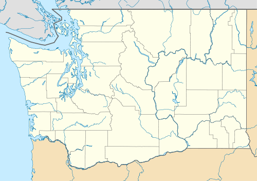
Meadowdale is located at coordinates 47°51'30"N 122°18'58"W. The land area is 1.07 sq. miles.[3]
References
- ↑ "Post Offices". Jim Forte Postal History. Retrieved 19 August 2016.
- ↑ Meany, Edmond S. (1923). Origin of Washington geographic names. Seattle: University of Washington Press. p. 162.
- ↑ "Meadowdale, Washington". Retrieved 18 August 2014.
Municipalities and communities of Snohomish County, Washington, United States | ||
|---|---|---|
| Cities |  | |
| Towns | ||
| CDPs |
| |
| Other unincorporated communities | ||
| Ghost town | ||
| Indian reservation | ||
| Footnotes | ‡This populated place also has portions in an adjacent county or counties | |
This article is issued from Wikipedia - version of the 8/19/2016. The text is available under the Creative Commons Attribution/Share Alike but additional terms may apply for the media files.