Meacham Township, Marion County, Illinois
| Meacham Township | |
| Township | |
| Country | United States |
|---|---|
| State | Illinois |
| County | Marion |
| Elevation | 584 ft (178.0 m) |
| Coordinates | 38°46′N 88°45′W / 38.767°N 88.750°WCoordinates: 38°46′N 88°45′W / 38.767°N 88.750°W |
| Area | 36.66 sq mi (94.9 km2) |
| - land | 36.54 sq mi (95 km2) |
| - water | 0.12 sq mi (0 km2) |
| Population | 375 (2010) |
| Density | 10.3/sq mi (4.0/km2) |
| Settled | November 4, 1873 |
| Timezone | CST (UTC-6) |
| - summer (DST) | CDT (UTC-5) |
 Location in Marion County | |
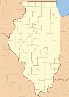 Location of Meacham Township in Illinois | |
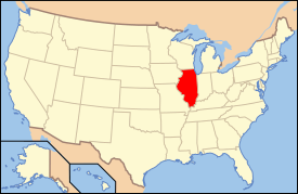 Location of Illinois in the United States | |
Meacham Township is located in Marion County, Illinois. As of the 2010 census, its population was 375 and it contained 167 housing units.[1]
Geography
Meacham Township (T4N R4E) is centered at 38°46'N 88°45'W (38.774, -88.754). Short portions of Interstate Route 57, State Route 37 and the East Fork of the Kaskaskia River cross the township's northwest corner. The north ends of Forbes Lake and Stephen A. Forbes State Park are located at its southern border. According to the 2010 census, the township has a total area of 36.66 square miles (94.9 km2), of which 36.54 square miles (94.6 km2) (or 99.67%) is land and 0.12 square miles (0.31 km2) (or 0.33%) is water.[1]
Adjacent townships
- LaClede Township, Fayette County (north)
- Larkinsburg Township, Clay County (northeast)
- Oskaloosa Township, Clay County (east)
- Songer Township, Clay County (southeast)
- Omega Township (south)
- Alma Township (southwest)
- Kinmundy Township (west)
- Lone Grove Township, Fayette County (northwest)
References
- 1 2 "Population, Housing Units, Area, and Density: 2010 - County -- County Subdivision and Place -- 2010 Census Summary File 1". United States Census. Retrieved 2013-05-28.
External links
Municipalities and communities of Marion County, Illinois, United States | ||
|---|---|---|
| Cities | ||
| Villages | ||
| Townships | ||
| Unincorporated communities | ||
| Footnotes | ‡This populated place also has portions in an adjacent county or counties | |

This article is issued from Wikipedia - version of the 4/30/2014. The text is available under the Creative Commons Attribution/Share Alike but additional terms may apply for the media files.