McPaul, Iowa
| McPaul, Iowa | |
|---|---|
| Unincorporated community | |
 McPaul | |
| Coordinates: 40°49′19″N 95°48′10″W / 40.82194°N 95.80278°WCoordinates: 40°49′19″N 95°48′10″W / 40.82194°N 95.80278°W | |
| Country |
|
| State |
|
| County | Fremont County |
| Elevation | 287 m (941 ft) |
| Time zone | Central (CST) (UTC-6) |
| • Summer (DST) | CDT (UTC-5) |
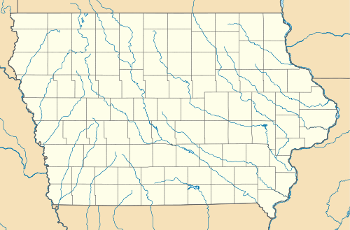
McPaul is a former townsite and unincorporated community in Fremont County, Iowa, United States. It was located at the intersection of County Roads J18 and L31, near the Missouri River. It is three miles west of Thurman, at 40.887295N -95.7950145W.[1]
History
McPaul was founded as a railroad town. The Kansas City, St. Joseph and Council Bluffs Railroad passed through McPaul in the late 1800s.[2] Much of modern-day Interstate 29 covers the former townsite; only a few scattered houses remain. The McPaul State Wildlife Management Area is located north of the townsite.
References
- ↑ "US Gazetteer files: 2010, 2000, and 1990". United States Census Bureau. 2011-02-12. Retrieved 2011-04-23.
- ↑ Fremont County Atlas (1891). Northwest Publishing Co.
Municipalities and communities of Fremont County, Iowa, United States | ||
|---|---|---|
| Cities | ||
| Townships | ||
| CDPs | ||
| Other unincorporated community | ||
| Footnotes | ‡This populated place also has portions in an adjacent county or counties | |
This article is issued from Wikipedia - version of the 5/19/2016. The text is available under the Creative Commons Attribution/Share Alike but additional terms may apply for the media files.